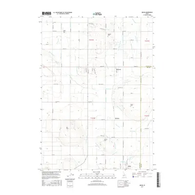
2017 Map of Melba
USGS Topo · Published 2017About this map
The town of Melba anchors the southern portion of this landscape, situated at the border of Canyon and Ada counties. This agricultural region is defined by an intricate network of irrigation infrastructure, where the Mora Canal and Waldvogel Canal feed a dense system of laterals and drains. Distinctive volcanic landforms rise above the surrounding fields, including Hat Butte, Madden Butte, Powers Butte, and McElroy Butte, providing prominent natural landmarks in an otherwise highly organized grid of rural roads and canals.
Find a feature on this map
77 named features on this map. Tap any name to fly to it.
Don’t see what you’re looking for? This feature index may not catch every label — zoom into the map to look around manually.
Map Details
Editions of this 2017 Melba Map
This is the sole edition of this map. No revisions or reprints were ever made.
Other maps of this area

1892 · Boise
USGS Topo · 1:125,000

1892 · Bisuka
USGS Topo · 1:125,000

1892 · Silver City
USGS Topo · 1:125,000

1894 · Bisuka
USGS Topo · 1:125,000

1894 · Silver City
USGS Topo · 1:125,000

1897 · Boise
USGS Topo · 1:125,000

1898 · Nampa
USGS Topo · 1:125,000

1898 · Silver City
USGS Topo · 1:125,000

1953 · Meridian
USGS Topo · 1:24,000

1955 · Boise
USGS Topo · 1:250,000