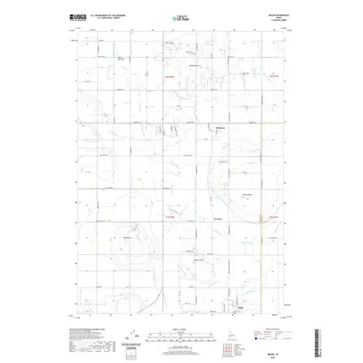
2020 Map of Melba
USGS Topo · Published 2020About this map
The agrarian landscape surrounding Melba in the Snake River Valley is defined by a sophisticated gravity-fed irrigation network. Distinctive volcanic landforms including Hat Butte, Madden Butte, and Powers Butte rise above a grid of farm roads and canals that distribute water across the high desert terrain. The prominence of features like the Mora Canal and Waldvogel Canal illustrates the intensive engineering required to sustain settlements such as Bowmont and Westma. This network of laterals and drains, including the Three Buttes Drain and Pass Lateral, follows the natural contours of the land toward Upper Deer Flat, revealing a complex water-rights history essential to the region's agricultural identity. To the west, Stage Coach Rd traces a historic transit path through the townships, while the boundary between Canyon and Ada Counties bisects the eastern portion of the survey.
Find a feature on this map
83 named features on this map. Tap any name to fly to it.
Don’t see what you’re looking for? This feature index may not catch every label — zoom into the map to look around manually.
Map Details
Editions of this 2020 Melba Map
This is the sole edition of this map. No revisions or reprints were ever made.
Other maps of this area

1892 · Boise
USGS Topo · 1:125,000

1892 · Bisuka
USGS Topo · 1:125,000

1892 · Silver City
USGS Topo · 1:125,000

1894 · Bisuka
USGS Topo · 1:125,000

1894 · Silver City
USGS Topo · 1:125,000

1897 · Boise
USGS Topo · 1:125,000

1898 · Nampa
USGS Topo · 1:125,000

1898 · Silver City
USGS Topo · 1:125,000

1953 · Meridian
USGS Topo · 1:24,000

1955 · Boise
USGS Topo · 1:250,000