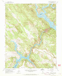
1962 Map of Melones Dam
USGS Topo · Published 1969About this map
Melones Reservoir and Tulloch Lake dominate this 1962 landscape, marking the industrial transformation of the Stanislaus River canyon. The presence of the Melones Dam and Tulloch Dam highlights the era’s intensive focus on water management and hydroelectric power, with a Powerhouse situated downstream. This transition is further evidenced by the Central Ferry (Site) and the O'Byrne Ferry Historical Monument, indicating where older river crossings were superseded by modern reservoir infrastructure.
Find a feature on this map
65 named features on this map. Tap any name to fly to it.
Don’t see what you’re looking for? This feature index may not catch every label — zoom into the map to look around manually.
Map Details
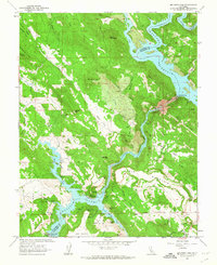
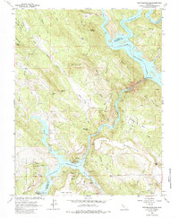
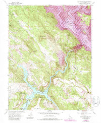
Editions of this 1962 Melones Dam Map
4 editions found
Other maps of this area

1889 · Jackson
USGS Topo · 1:125,000

1891 · Big Trees
USGS Topo · 1:125,000

1892 · Jackson
USGS Topo · 1:125,000

1893 · Sonora
USGS Topo · 1:125,000

1894 · Big Trees
USGS Topo · 1:125,000

1896 · Sonora
USGS Topo · 1:125,000

1897 · Jackson
USGS Topo · 1:125,000

1897 · Sonora
USGS Topo · 1:125,000

1897 · Big Trees
USGS Topo · 1:125,000

1898 · Sonora
USGS Topo · 1:125,000
Featured Places
- The Shores of Poker Flat, CA
- Black Jack Bluffs, CA
- Tuolumne County, CA
- Calaveras County, CA
- United States