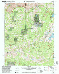
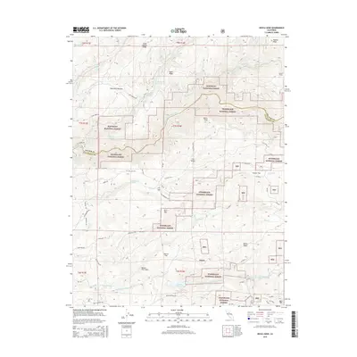
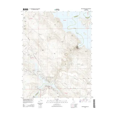
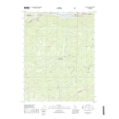
1962 Map of New Melones Dam
USGS Topo · Published 1987About this map
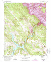
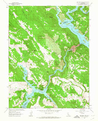
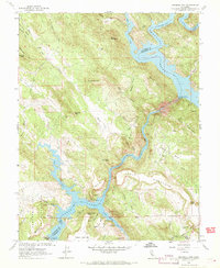
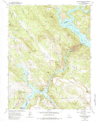
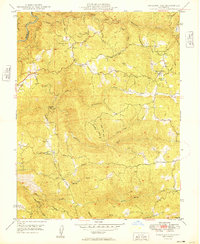
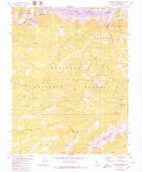
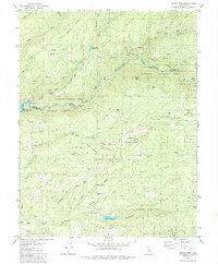
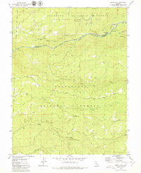
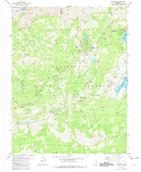
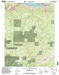
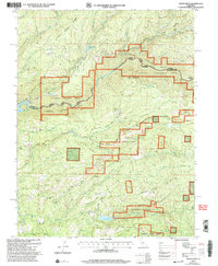
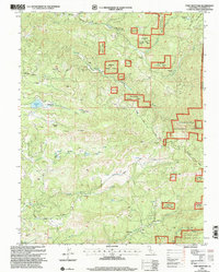
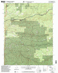
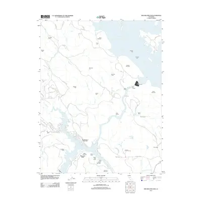
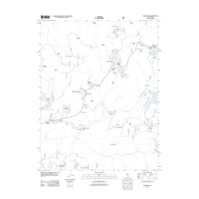
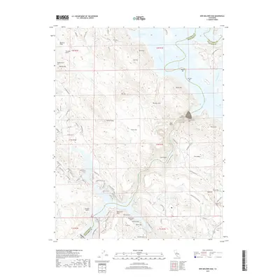
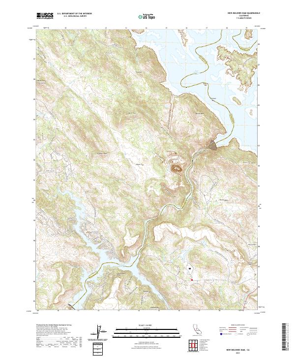
Stanislaus River and its dramatic canyon dominate this terrain along the border of Calaveras and Tuolumne Counties. The map documents a landscape in transition, where the rising waters of New Melones Lake and Tulloch Reservoir began to reshape the foothills. This engineering effort, anchored by Tulloch Dam and its associated Powerhouse, flooded several sites of local significance. Notable among these is the Central Ferry (Site) and the O Byrne Ferry Historical Monument, marking old river crossings that were once vital for travel through the region.
Find a feature on this map
69 named features on this map. Tap any name to fly to it.
Don’t see what you’re looking for? This feature index may not catch every label — zoom into the map to look around manually.
Map Details
Editions of this 1962 New Melones Dam Map
4 editions found
Historical Maps of The Shores of Poker Flat Through Time
56 maps found
1949 Railroad Flat
Calaveras County, CA
1956 Blue Mountain
Calaveras County, CA

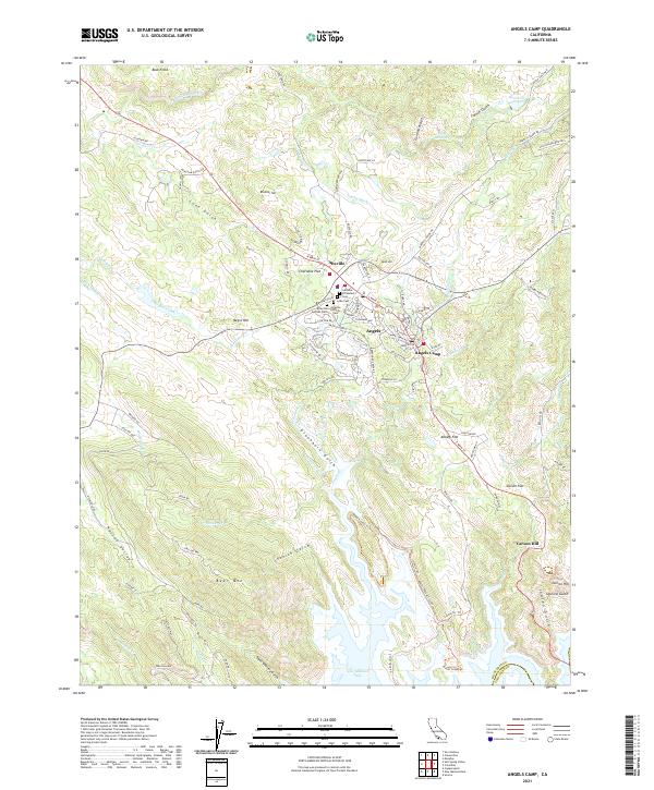
1962 Angels Camp
Calaveras County, CA
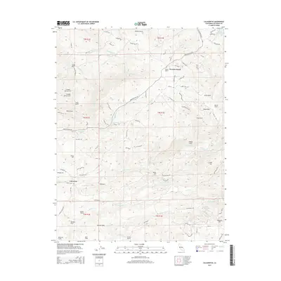
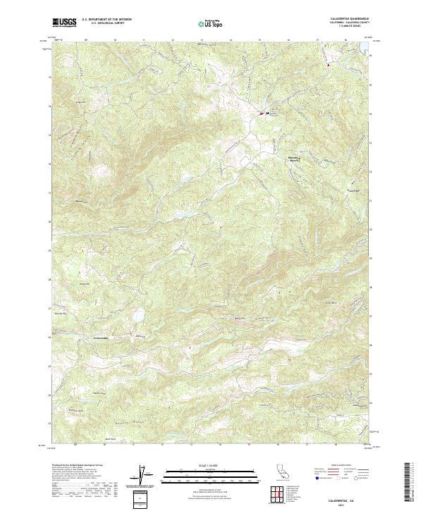
1962 Calaveritas
Calaveras County, CA
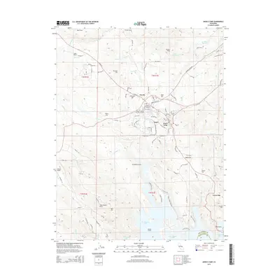
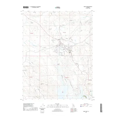
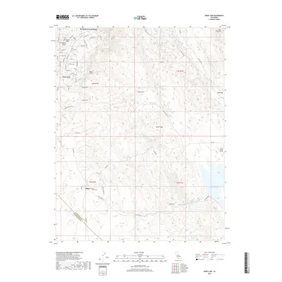
1962 Jenny Lind
Calaveras County, CA
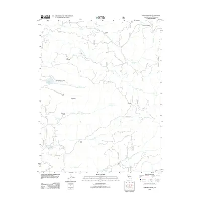
1962 New Melones Dam
Calaveras County, CA

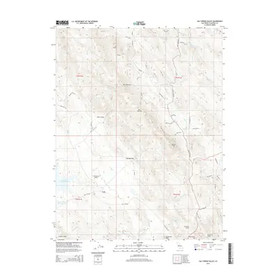
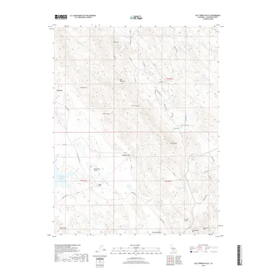
1962 Salt Spring Valley
Calaveras County, CA
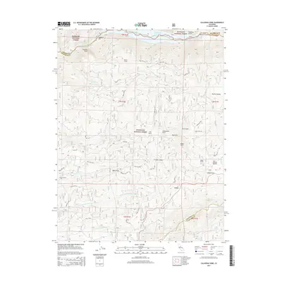
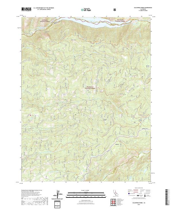
1979 Calaveras Dome
Calaveras County, CA
1979 Devils Nose
Calaveras County, CA
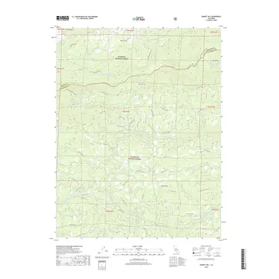
1979 Garnet Hill
Calaveras County, CA
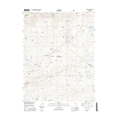
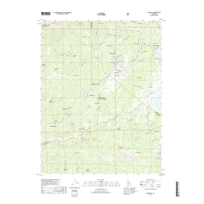
1979 Tamarack
Calaveras County, CA
2001 Calaveras Dome
Calaveras County, CA
2001 Devils Nose
Calaveras County, CA
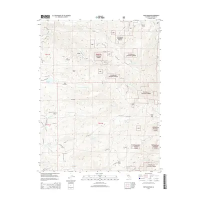
2001 Fort Mountain
Calaveras County, CA
2001 Garnet Hill
Calaveras County, CA
2001 Tamarack
Calaveras County, CA

2012 Angels Camp
Calaveras County, CA
2012 Calaveras Dome
Calaveras County, CA
2012 Calaveritas
Calaveras County, CA
2012 Devils Nose
Calaveras County, CA
2012 Fort Mountain
Calaveras County, CA

2012 Garnet Hill
Calaveras County, CA
2012 Jenny Lind
Calaveras County, CA
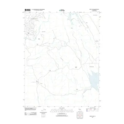
2012 New Melones Dam
Calaveras County, CA
2012 Salt Spring Valley
Calaveras County, CA
2012 Tamarack
Calaveras County, CA
2015 Angels Camp
Calaveras County, CA
2015 Calaveras Dome
Calaveras County, CA
2015 Calaveritas
Calaveras County, CA
2015 Devils Nose
Calaveras County, CA
2015 Fort Mountain
Calaveras County, CA
2015 Garnet Hill
Calaveras County, CA
2015 Jenny Lind
Calaveras County, CA
2015 New Melones Dam
Calaveras County, CA
2015 Salt Spring Valley
Calaveras County, CA
2015 Tamarack
Calaveras County, CA
2018 Angels Camp
Calaveras County, CA
2018 Calaveras Dome
Calaveras County, CA
2018 Calaveritas
Calaveras County, CA
2018 Devils Nose
Calaveras County, CA
2018 Fort Mountain
Calaveras County, CA
2018 Garnet Hill
Calaveras County, CA
2018 Jenny Lind
Calaveras County, CA
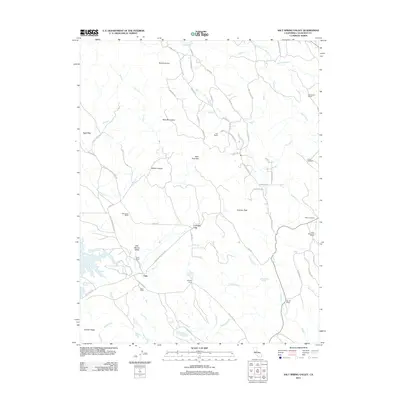
2018 New Melones Dam
Calaveras County, CA
2018 Salt Spring Valley
Calaveras County, CA
2018 Tamarack
Calaveras County, CA
2021 Angels Camp
Calaveras County, CA
2021 Calaveras Dome
Calaveras County, CA
2021 Calaveritas
Calaveras County, CA
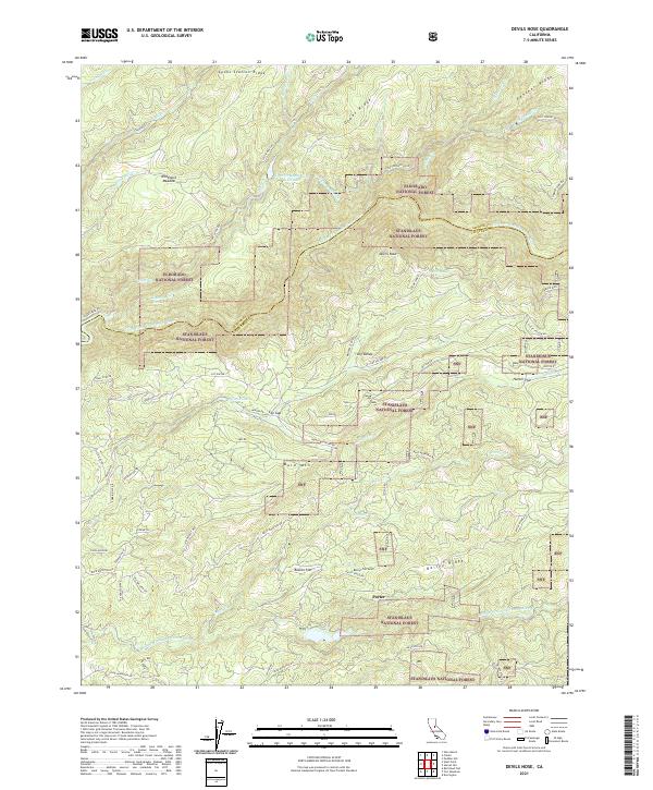
2021 Devils Nose
Calaveras County, CA
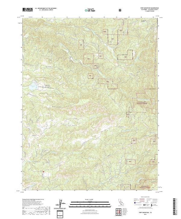
2021 Fort Mountain
Calaveras County, CA
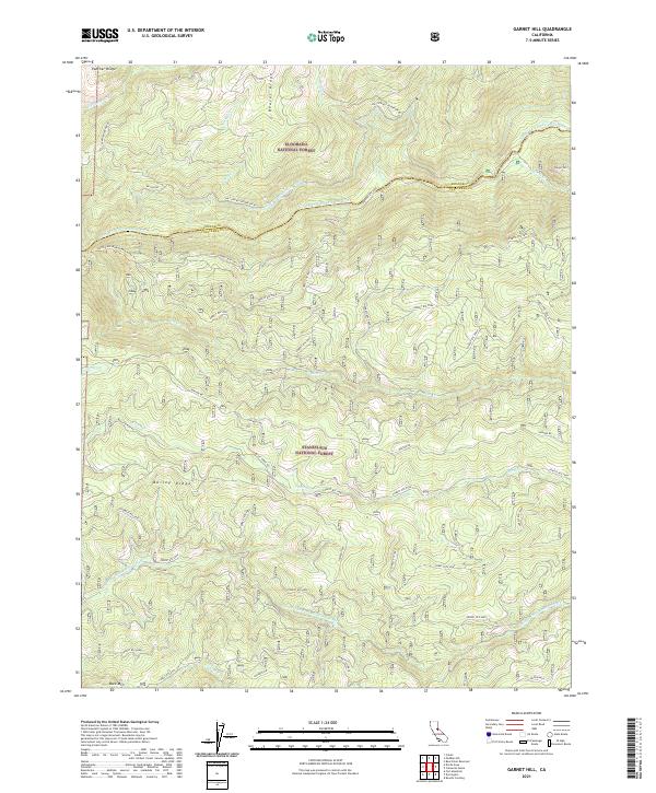
2021 Garnet Hill
Calaveras County, CA
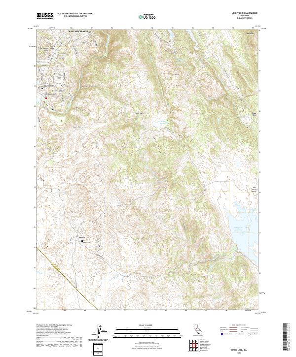
2021 Jenny Lind
Calaveras County, CA
2021 New Melones Dam
Calaveras County, CA
2021 Salt Spring Valley
Calaveras County, CA
2022 Tamarack
Calaveras County, CA
Featured Locations
- United States
- Tuolumne County, CA
- Calaveras County, CA
- The Shores of Poker Flat, CA
- Black Jack Bluffs, CA