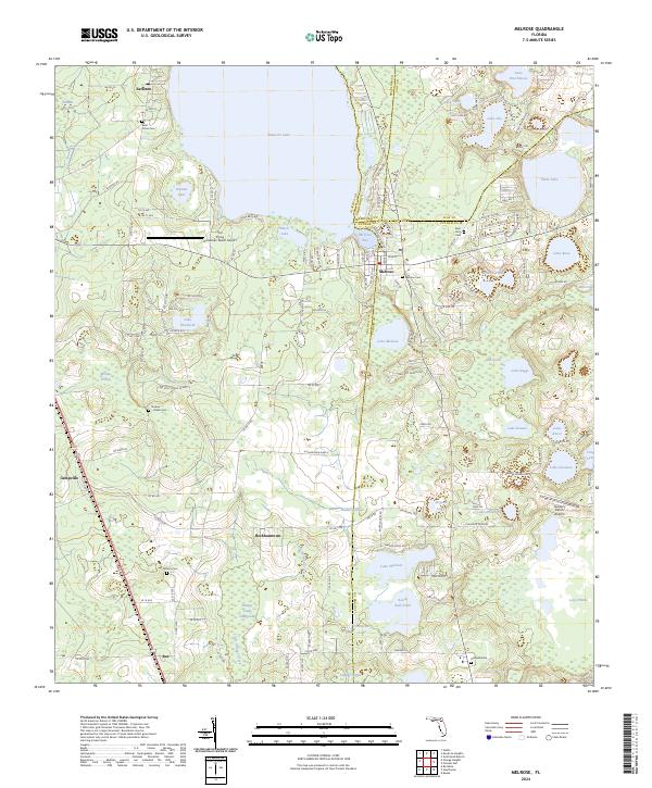
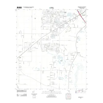
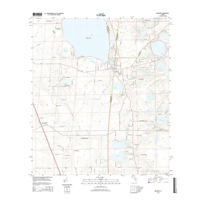
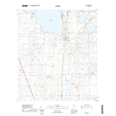
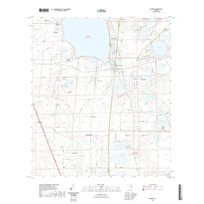
2024 Map of Melrose
USGS Topo · Published 2024About this map
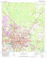
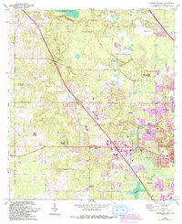
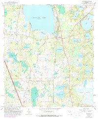
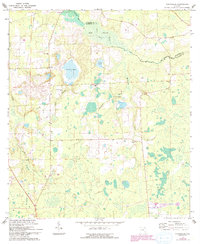
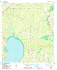
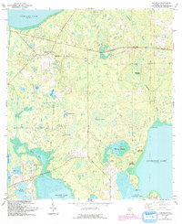
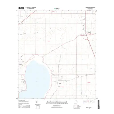
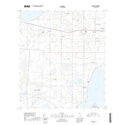
Santa Fe Lake and Melrose Bay dominate the northern landscape of this region where four Florida counties—Alachua, Bradford, Putnam, and Clay—converge. The settlement of Melrose sits at this junction, serving as a gateway to a lake-strewn interior that includes Swan Lake, Lake Rosa, and Lake Winnott. The presence of numerous family and church burial grounds, such as Saint Johns Cem, Waters Cem, and the Nelson - Starke Cem, indicates a deeply rooted rural community structure. Transportation across this watery terrain is defined by local routes like Co Rd 219A and Co Rd 1474, connecting smaller points like Earleton and Beckhamtown. Land use varies from the private N Caledonia Ranch to specialized sites like The Flying Horseman Ranch Airport, illustrating the mixture of traditional ranching and modern aviation in the Florida lake district.
Find a feature on this map
116 named features on this map. Tap any name to fly to it.
Don’t see what you’re looking for? This feature index may not catch every label — zoom into the map to look around manually.
Map Details
Editions of this 2024 Melrose Map
This is the sole edition of this map. No revisions or reprints were ever made.
Historical Maps of Beckhamtown Through Time
49 maps found
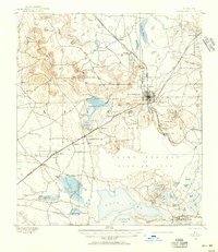
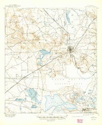
1890 Arredondo
Alachua County, FL

1892 Arredondo
Alachua County, FL
1894 Arredondo
Alachua County, FL

1938 Hawthorn
Alachua County, FL

1943 Hawthorn
Alachua County, FL
1966 Arredondo
Alachua County, FL
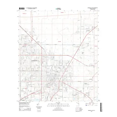
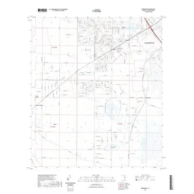
1966 Gainesville East
Alachua County, FL
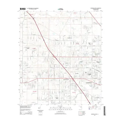
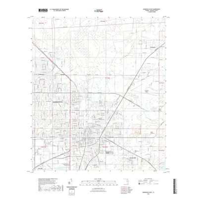
1966 Gainesville West
Alachua County, FL
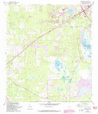
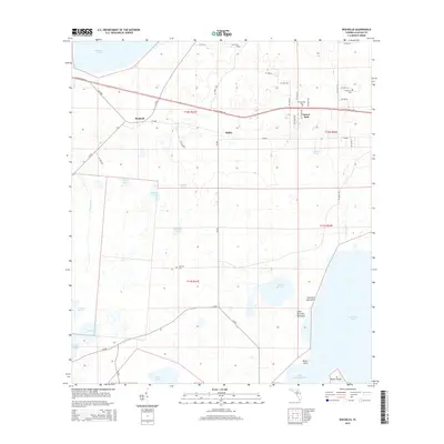
1966 Melrose
Alachua County, FL
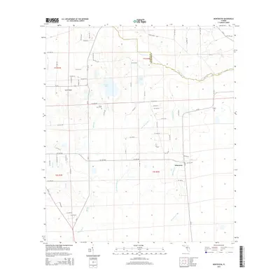
1966 Monteocha
Alachua County, FL
1966 Orange Heights
Alachua County, FL
1966 Rochelle
Alachua County, FL
1994 Gainesville East
Alachua County, FL
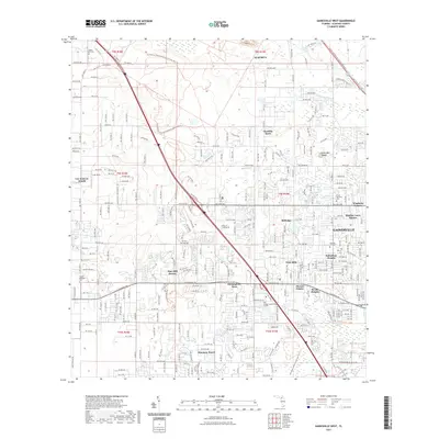
1994 Gainesville West
Alachua County, FL
2012 Arredondo
Alachua County, FL
2012 Gainesville East
Alachua County, FL
2012 Gainesville West
Alachua County, FL
2012 Melrose
Alachua County, FL
2012 Monteocha
Alachua County, FL
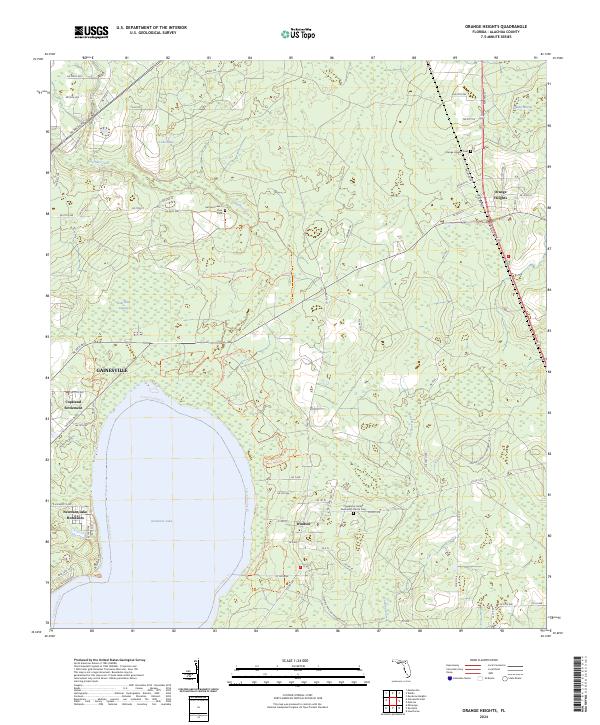
2012 Orange Heights
Alachua County, FL
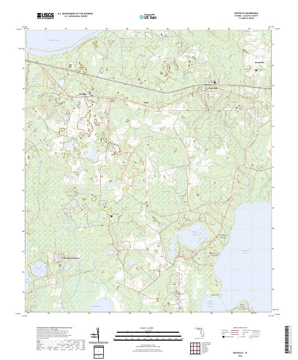
2012 Rochelle
Alachua County, FL
2015 Arredondo
Alachua County, FL
2015 Gainesville East
Alachua County, FL
2015 Gainesville West
Alachua County, FL
2015 Melrose
Alachua County, FL
2015 Monteocha
Alachua County, FL
2015 Orange Heights
Alachua County, FL
2015 Rochelle
Alachua County, FL
2018 Arredondo
Alachua County, FL
2018 Gainesville East
Alachua County, FL
2018 Gainesville West
Alachua County, FL
2018 Melrose
Alachua County, FL
2018 Monteocha
Alachua County, FL
2018 Orange Heights
Alachua County, FL
2018 Rochelle
Alachua County, FL
2021 Arredondo
Alachua County, FL
2021 Gainesville East
Alachua County, FL
2021 Gainesville West
Alachua County, FL
2021 Melrose
Alachua County, FL
2021 Monteocha
Alachua County, FL
2021 Orange Heights
Alachua County, FL
2021 Rochelle
Alachua County, FL
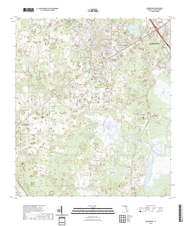
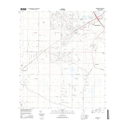
2024 Arredondo
Alachua County, FL
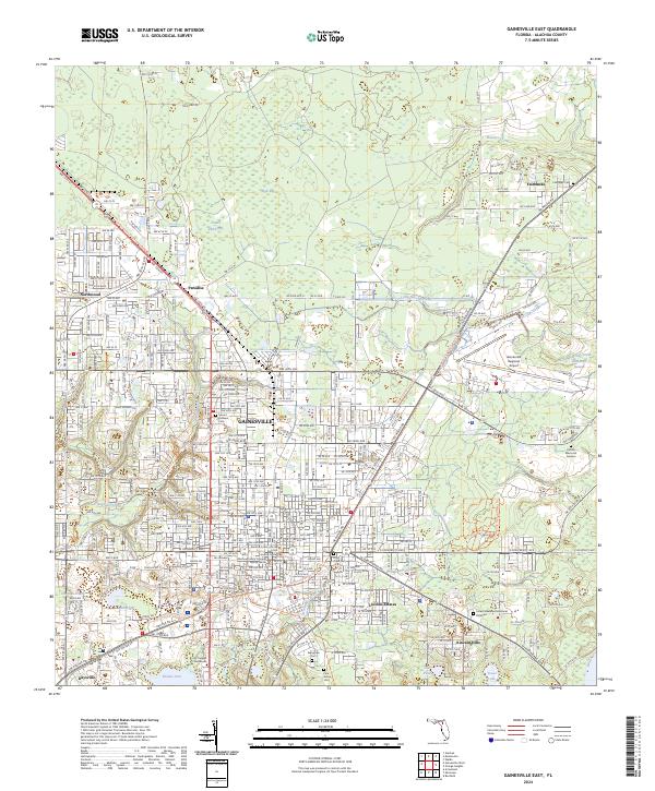
2024 Gainesville East
Alachua County, FL
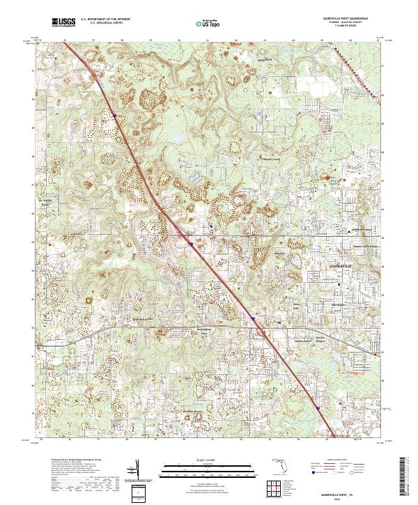
2024 Gainesville West
Alachua County, FL
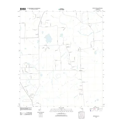
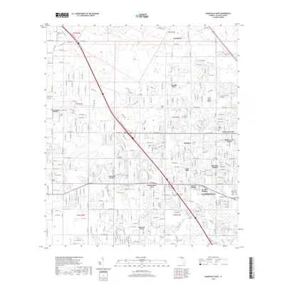
2024 Melrose
Alachua County, FL
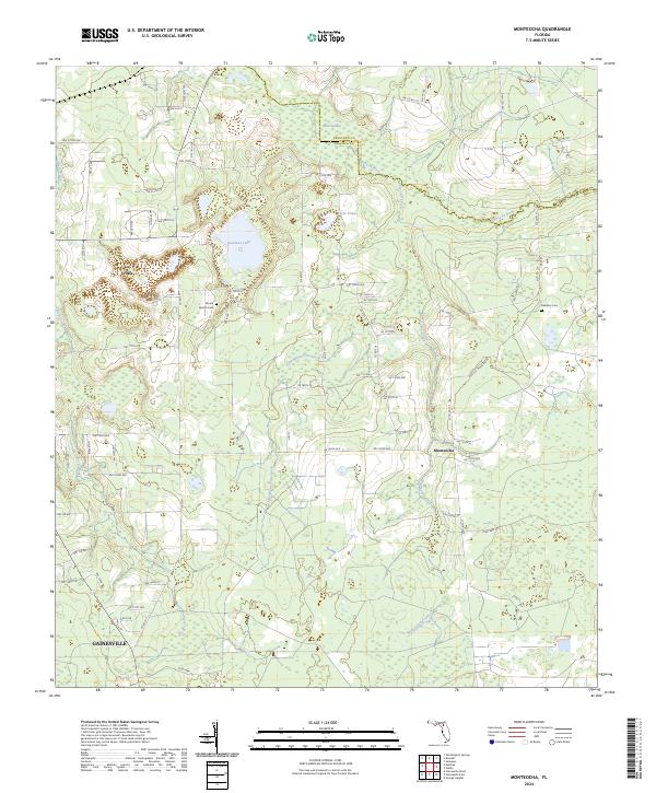
2024 Monteocha
Alachua County, FL
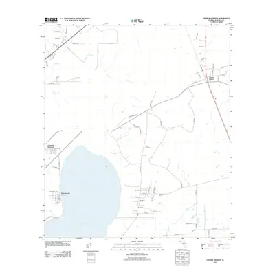
2024 Orange Heights
Alachua County, FL
2024 Rochelle
Alachua County, FL