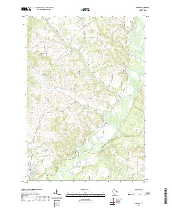
2022 Map of Melrose
USGS Topo · Published 2022About this map
Melrose serves as the primary settlement on this landscape, situated near the southwestern bend of the Black River. The river's winding course dominates the topography, creating a complex network of wetlands and oxbow formations including Horse Shoe Lake, Shallow Lake, and Deep Lake. The northern portion of the region is defined by distinct drainages and elevations, notably Sugar Loaf and the surrounding Sugar Loaf Valley, alongside the parallel Cloverdale Valley. The boundary between Jackson Co and Monroe Co is clearly delineated as it cuts through the bottomlands south of the river. Local history is anchored by sites like Irving Cem, while the road network shows the evolution of transit through the area, with routes such as Old Hwy 54 and Soupbone Rd connecting isolated farmsteads and valleys.
Find a feature on this map
74 named features on this map. Tap any name to fly to it.
Don’t see what you’re looking for? This feature index may not catch every label — zoom into the map to look around manually.
Map Details
Editions of this 2022 Melrose Map
This is the sole edition of this map. No revisions or reprints were ever made.
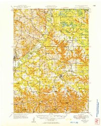
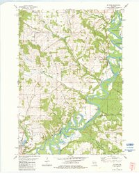
Historical Maps of Jackson County Through Time
4 maps found