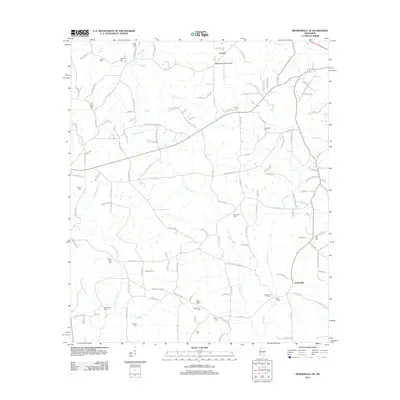
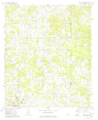
2012 Map of Mendenhall SE
USGS Topo · Published 2012About this map
Cyclone and the rural communities southeast of Magee are defined by a complex network of waterways and ancestral burial grounds. The Bouie River and Skiffer Cr drainage systems carve through the landscape, dictating the placement of early settlements and family-named roads. Notable for its high density of small cemeteries, the area preserves the names of early residents through sites like Hen Magee Cem, Rials Creek Cem, and the Old Saint Peter Cem. Modern development is represented by the Magee Municipal Airport near the northern boundary, while the small crossroads of Jaynesville remains a focal point in the southeast. This map captures the balance between long-standing family landholdings and the necessary infrastructure of Simpson County in the early 21st century.
Find a feature on this map
137 named features on this map. Tap any name to fly to it.
Don’t see what you’re looking for? This feature index may not catch every label — zoom into the map to look around manually.
Map Details
Editions of this 2012 Mendenhall SE Map
This is the sole edition of this map. No revisions or reprints were ever made.
Other maps of this area

1953 · Hattiesburg
USGS Topo · 1:250,000

1958 · Hattiesburg
USGS Topo · 1:250,000

1970 · Mendenhall East
USGS Topo · 1:24,000
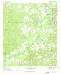
1970 · Mendenhall West
USGS Topo · 1:24,000

1970 · New Hebron
USGS Topo · 1:24,000

1970 · Mount Carmel
USGS Topo · 1:24,000
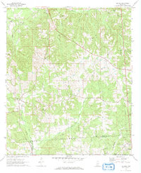
1971 · Shivers
USGS Topo · 1:24,000
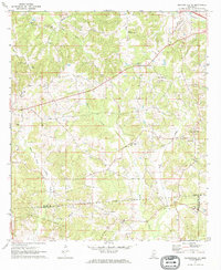
1971 · Mendenhall SE
USGS Topo · 1:24,000

1974 · Lone Star
USGS Topo · 1:24,000
1975 · Magee North
USGS Topo · 1:24,000