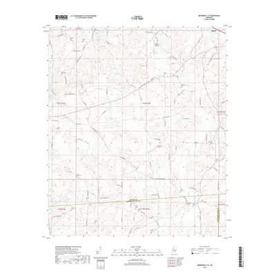
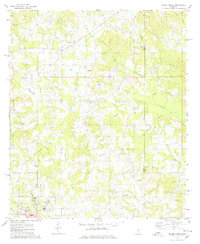
2018 Map of Mendenhall SE
USGS Topo · Published 2018About this map
Magee and the rural lands of southern Simpson County define this landscape at the edge of the Piney Woods. The settlement pattern here is anchored by a dense network of country burial grounds, reflecting the lineage of local families in sites such as Rials Creek Cem, Old Saint Peter Cem, and Hen Magee Cem. These sites, along with others like the Macedonia Cem and Saint John Cem, offer a rich spatial record for genealogists and local historians. The terrain is drained by numerous small watercourses, including the Bouie River, Rials Cr, and Skiffer Cr, which wind through a patchwork of timber and open land. Transport infrastructure is concentrated around the Magee Municipal Airport and a grid of rural roads named for established families, such as James Boyakin Barnett Rd and Dick Welch Rd, indicating a long history of local land ownership and community development.
Find a feature on this map
105 named features on this map. Tap any name to fly to it.
Don’t see what you’re looking for? This feature index may not catch every label — zoom into the map to look around manually.
Map Details
Editions of this 2018 Mendenhall SE Map
This is the sole edition of this map. No revisions or reprints were ever made.
Other maps of this area

1953 · Hattiesburg
USGS Topo · 1:250,000

1958 · Hattiesburg
USGS Topo · 1:250,000

1970 · Mendenhall East
USGS Topo · 1:24,000
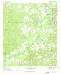
1970 · Mendenhall West
USGS Topo · 1:24,000

1970 · New Hebron
USGS Topo · 1:24,000

1970 · Mount Carmel
USGS Topo · 1:24,000
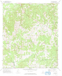
1971 · Shivers
USGS Topo · 1:24,000
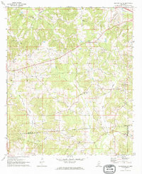
1971 · Mendenhall SE
USGS Topo · 1:24,000

1974 · Lone Star
USGS Topo · 1:24,000
1975 · Magee North
USGS Topo · 1:24,000