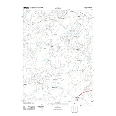
2011 Map of Mendham
USGS Topo · Published 2011About this map
Mendham and the surrounding Morris County landscape are defined by a complex network of reservoirs and small mountain peaks. The northern reaches are anchored by Mount Fern and Union Hill, while the central terrain features Trowbridge Mountain and several water management landmarks like the Morristown Reservoir Dam at Clyde Potts Reservoir. This area reflects a long history of community organization, evidenced by numerous faith-based burial sites including the Mount Freedom Hebrew Cemetery and Mount Sinai Cemetery, alongside established institutions like the Sons of Poland Camp.
Find a feature on this map
339 named features on this map. Tap any name to fly to it.
Don’t see what you’re looking for? This feature index may not catch every label — zoom into the map to look around manually.
Map Details
Editions of this 2011 Mendham Map
This is the sole edition of this map. No revisions or reprints were ever made.
Other maps of this area

1888 · Plainfield
USGS Topo · 1:62,500

1888 · Morristown
USGS Topo · 1:62,500

1888 · Lake Hopatcong
USGS Topo · 1:62,500

1891 · Somerville
USGS Topo · 1:62,500

1893 · Plainfield
USGS Topo · 1:62,500

1893 · Somerville
USGS Topo · 1:62,500

1894 · Morristown
USGS Topo · 1:62,500

1894 · Lake Hopatcong
USGS Topo · 1:62,500

1898 · Lake Hopatcong
USGS Topo · 1:62,500

1898 · Morristown
USGS Topo · 1:62,500