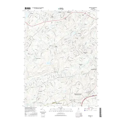
2016 Map of Mendham
USGS Topo · Published 2016About this map
Morristown National Historical Park anchors the southeastern landscape of this Morris County region, preserving the site of significant Continental Army winter encampments. The area transitions from the urban edges of Morristown and Dover into a network of suburban hamlets and protected woodlands. Higher elevations such as Calais Mtn and Trowbridge Mtn rise above the valleys of the Whippany River and the N Br Raritan River, which drain towards the Passaic River. Educational and religious institutions are prominent throughout the terrain, including the County Coll of Morris near Mount Fern and the Assumption Coll for Sisters in Mendham. Local history is preserved in several notable burial grounds, such as the Mount Freedom Hebrew Cem and the Hilltop Presbyterian Cem, reflecting the diverse community growth over centuries of development in the New Jersey highlands.
Find a feature on this map
62 named features on this map. Tap any name to fly to it.
Don’t see what you’re looking for? This feature index may not catch every label — zoom into the map to look around manually.
Map Details
Editions of this 2016 Mendham Map
This is the sole edition of this map. No revisions or reprints were ever made.
Other maps of this area

1888 · Plainfield
USGS Topo · 1:62,500

1888 · Morristown
USGS Topo · 1:62,500

1888 · Lake Hopatcong
USGS Topo · 1:62,500

1891 · Somerville
USGS Topo · 1:62,500

1893 · Plainfield
USGS Topo · 1:62,500

1893 · Somerville
USGS Topo · 1:62,500

1894 · Morristown
USGS Topo · 1:62,500

1894 · Lake Hopatcong
USGS Topo · 1:62,500

1898 · Lake Hopatcong
USGS Topo · 1:62,500

1898 · Morristown
USGS Topo · 1:62,500