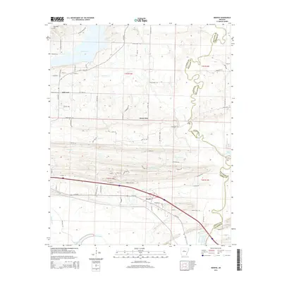
2014 Map of Menifee
USGS Topo · Published 2014About this map
The town of Menifee serves as a focal point in this central Arkansas landscape, where the flatlands of the Miller Bayou and Old River Lake meet the rising elevations of the north. The boundary between Faulkner and Conway Counties meanders through the terrain, often following the winding course of Cypress Creek and Cadron Creek. To the northwest, Ragsdale Mountain provides a prominent landmark overlooking Brewer Lake. The settlement patterns here follow a mix of old rural roads and modern transit corridors, with the smaller communities of Mount Olive and Hill Creek established along the drainage basins of Caney Creek and its tributaries. This survey captures the transition from the wet bayou lowlands in the south to the more dissected upland ridges near Creben Hill Road, documenting the road networks that connect these historic agricultural and residential areas.
Find a feature on this map
77 named features on this map. Tap any name to fly to it.
Don’t see what you’re looking for? This feature index may not catch every label — zoom into the map to look around manually.
Map Details
Editions of this 2014 Menifee Map
This is the sole edition of this map. No revisions or reprints were ever made.
Other maps of this area

1892 · Morrillton
USGS Topo · 1:125,000

1894 · Morrillton
USGS Topo · 1:125,000

1956 · Russellville
USGS Topo · 1:250,000

1961 · Menifee
USGS Topo · 1:24,000

1961 · Morrilton East
USGS Topo · 1:24,000

1961 · Houston
USGS Topo · 1:24,000

1961 · Gleason
USGS Topo · 1:24,000

1961 · Conway
USGS Topo · 1:24,000

1961 · Conway
USGS Topo · 1:62,500

1961 · Bee Branch
USGS Topo · 1:62,500