
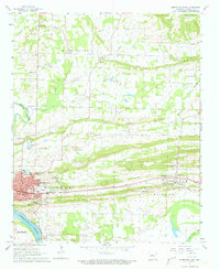
1961 Map of Morrilton East
USGS Topo · Published 1962About this map
Morrilton and Plumerville serve as the primary hubs of activity in this 1961 record of Conway County, situated along the northern bank of the Arkansas River. The landscape is a mix of agricultural lowlands and rising terrain, anchored by the Missouri Pacific railroad corridor which dictates the placement of industry and civic life. The township boundaries of Washington, Steele, Welborn, and Howard organize a dense network of rural landmarks, including the Sacred Heart Cem and Lewisburg Cem.
Find a feature on this map
57 named features on this map. Tap any name to fly to it.
Don’t see what you’re looking for? This feature index may not catch every label — zoom into the map to look around manually.
Map Details
Editions of this 1961 Morrilton East Map
3 editions found
Other maps of this area

1889 · Morrilton No. 3
USGS Topo · 1:62,500

1892 · Morrillton
USGS Topo · 1:125,000

1894 · Morrillton
USGS Topo · 1:125,000

1956 · Russellville
USGS Topo · 1:250,000

1961 · Menifee
USGS Topo · 1:24,000

1961 · Perryville
USGS Topo · 1:24,000

1961 · Morrilton West
USGS Topo · 1:24,000

1961 · Houston
USGS Topo · 1:24,000

1961 · Gleason
USGS Topo · 1:24,000
1962 · Solgohachia
USGS Topo · 1:24,000