
1961 Map of Morrilton West
USGS Topo · Published 1962About this map
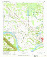
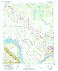
Petit Jean Mountain and its iconic Cedar Falls dominate the southwestern quadrant of this 1961 survey, where the river plain meets the sudden elevation of the Ozark foothills. The Arkansas River winds through the center of the sheet, its course mirrored by the Point Remove Creek and its complex system of sloughs and inlets like Fish Lake. Near the eastern edge, the city of Morrilton serves as the regional hub, characterized by its Missouri Pacific rail connections and local landmarks like the Morrilton Airport and Country Club. Local genealogy is well-documented through several burial sites including Happy Bend Cem, Hill Cem, and Oddfellows Cem. The landscape reflects a mix of industry and agriculture, featuring a Shale Pit, Gravel Pit, and a prominent Fish Hatchery near the river's edge.
Find a feature on this map
37 named features on this map. Tap any name to fly to it.
Don’t see what you’re looking for? This feature index may not catch every label — zoom into the map to look around manually.
Map Details
Editions of this 1961 Morrilton West Map
3 editions found
Other maps of this area

1889 · Morrilton No. 3
USGS Topo · 1:62,500

1892 · Morrillton
USGS Topo · 1:125,000

1894 · Morrillton
USGS Topo · 1:125,000

1956 · Russellville
USGS Topo · 1:250,000

1961 · Perryville
USGS Topo · 1:24,000

1961 · Morrilton East
USGS Topo · 1:24,000

1961 · Houston
USGS Topo · 1:24,000

1961 · Adona
USGS Topo · 1:24,000

1961 · Atkins
USGS Topo · 1:24,000
1962 · Moreland
USGS Topo · 1:24,000