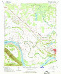
1961 Map of Morrilton West
USGS Topo · Published 1968About this map
Petit Jean Mountain looms over the southern bank of the Arkansas River, a prominent natural landmark that defines the topography of Conway County in the early 1960s. The landscape is a transition from these steep elevations, including the site of Cedar Falls and Stouts Point, to the fertile river bottomlands. The city of Morrilton sits at the eastern edge of this sheet, serving as a hub for the region's transportation and local industry.
Find a feature on this map
39 named features on this map. Tap any name to fly to it.
Don’t see what you’re looking for? This feature index may not catch every label — zoom into the map to look around manually.
Map Details
Editions of this 1961 Morrilton West Map
3 editions found
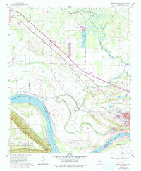
Other maps of this area

1889 · Morrilton No. 3
USGS Topo · 1:62,500

1892 · Morrillton
USGS Topo · 1:125,000

1894 · Morrillton
USGS Topo · 1:125,000

1956 · Russellville
USGS Topo · 1:250,000

1961 · Perryville
USGS Topo · 1:24,000

1961 · Morrilton East
USGS Topo · 1:24,000

1961 · Morrilton West
USGS Topo · 1:24,000

1961 · Houston
USGS Topo · 1:24,000

1961 · Adona
USGS Topo · 1:24,000

1961 · Atkins
USGS Topo · 1:24,000