
1961 Map of Adona
USGS Topo · Published 1962About this map
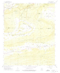
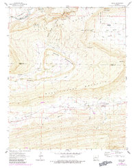
Petit Jean State Park dominates the northern reaches of this Arkansas landscape, where the Petit Jean River meanders through Carden Bottom. This 1961 field-checked survey illustrates a region defined by high ridges and narrow valleys, with Petit Jean Mountain and Round Mountain providing significant relief above the surrounding agricultural lands. The Chicago Rock Island and Pacific railroad serves as a primary transit corridor, connecting the settlements of Adona, Ada, and Homewood. Small rural communities are anchored by landmarks like Rose Creek Ch and Welcome Home Ch, while the distribution of family-named burial sites such as Hamilton Cem and Higgins Cem reveals the established footprint of local residents. Notable geological features, including the Natural Bridge and Rock House Cave, are documented along the slopes of the central massif.
Find a feature on this map
45 named features on this map. Tap any name to fly to it.
Don’t see what you’re looking for? This feature index may not catch every label — zoom into the map to look around manually.
Map Details
Editions of this 1961 Adona Map
3 editions found
Other maps of this area

1888 · Dardanelle #4
USGS Topo · 1:62,500

1889 · Morrilton No. 3
USGS Topo · 1:62,500

1890 · Benton
USGS Topo · 1:125,000

1890 · Hot Springs
USGS Topo · 1:125,000

1890 · Dardanelle
USGS Topo · 1:125,000

1892 · Morrillton
USGS Topo · 1:125,000

1894 · Morrillton
USGS Topo · 1:125,000

1894 · Hot Springs
USGS Topo · 1:125,000

1894 · Benton
USGS Topo · 1:125,000

1955 · Little Rock
USGS Topo · 1:250,000