
1961 Map of Atkins
USGS Topo · Published 1962About this map
Petit Jean Mountain and its namesake Petit Jean State Park dominate the southern portion of this landscape, where the rugged terrain meets the flat agricultural expanses of Carden Bottom. This 1961 field-checked survey highlights a distinct riverine geography, with the Arkansas River carving a wide path through the center, separating Pope and Yell counties. The river features prominent landforms like Sweden Island and the landmark Galla Rock, while the northern uplands rise toward Carrion Crow Mountain.
Find a feature on this map
44 named features on this map. Tap any name to fly to it.
Don’t see what you’re looking for? This feature index may not catch every label — zoom into the map to look around manually.
Map Details
Editions of this 1961 Atkins Map
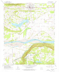
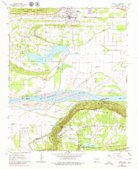
Other maps of this area

1888 · Dardanelle #4
USGS Topo · 1:62,500

1888 · Dardanelle #1
USGS Topo · 1:62,500

1889 · Morrilton No. 3
USGS Topo · 1:62,500

1890 · Dardanelle
USGS Topo · 1:125,000

1892 · Morrillton
USGS Topo · 1:125,000

1894 · Morrillton
USGS Topo · 1:125,000

1956 · Russellville
USGS Topo · 1:250,000

1961 · Perryville
USGS Topo · 1:24,000

1961 · Morrilton West
USGS Topo · 1:24,000

1961 · Adona
USGS Topo · 1:24,000