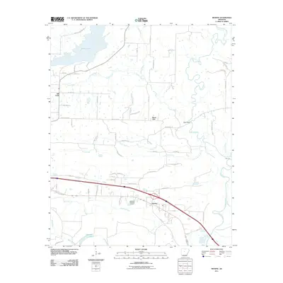
2024 Map of Menifee
USGS Topo · Published 2024About this map
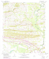
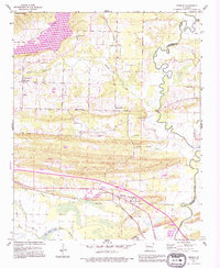
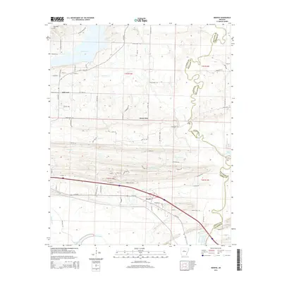
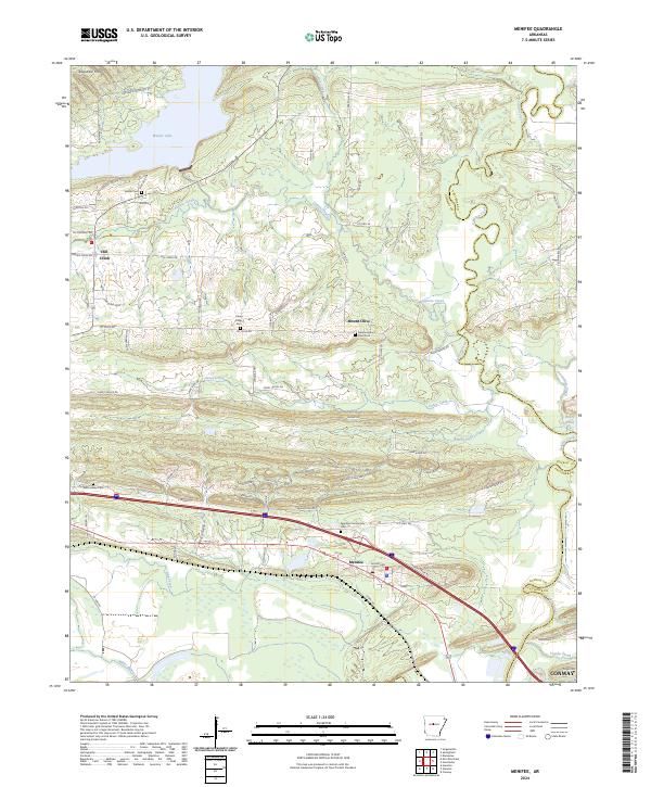
Menifee and the surrounding Conway County countryside are defined by a complex network of waterways that drain the central Arkansas terrain. The settlement pattern is anchored by small communities and family-named landmarks, such as Mount Olive and several historic burial grounds including Menifee Community Cem and Edmondson Cem. To the north, Brewer Lake serves as a significant reservoir, while the southern reaches are marked by the Union Pacific Railroad corridor that parallels the regional highway system. The landscape shifts from the low-lying basins of Miller Bayou and Gap Creek to prominent elevations like Ragsdale Mtn and Pisgah Mtn near the Faulkner County line. This 2024 survey documents a mix of agricultural heritage and modern infrastructure, where established routes like Mt Olive Rd and Caney Valley Dr connect disparate rural homesteads across the townships of T7N and T6N.
Find a feature on this map
80 named features on this map. Tap any name to fly to it.
Don’t see what you’re looking for? This feature index may not catch every label — zoom into the map to look around manually.
Map Details
Editions of this 2024 Menifee Map
This is the sole edition of this map. No revisions or reprints were ever made.
Historical Maps of Conway Through Time
7 maps found