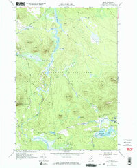
1964 Map of Meno
USGS Topo · Published 1966About this map
The St Regis River carves a winding path through the northern woods of Franklin County in this 1964 survey, defining a landscape of wetlands and isolated peaks within the Adirondack State Park. The small settlement of Meno and the vicinity of Madawaska represent the primary points of human activity, situated near the banks of the Onion River and the broad waters of Madawaska Pond. Much of the territory is designated as State Forest Preserve, reflecting the state's efforts to maintain the timber and water resources of the High Peaks region during the mid-twentieth century.
Find a feature on this map
42 named features on this map. Tap any name to fly to it.
Don’t see what you’re looking for? This feature index may not catch every label — zoom into the map to look around manually.
Map Details
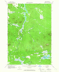
Editions of this 1964 Meno Map
2 editions found
Other maps of this area

1905 · Saint Regis
USGS Topo · 1:62,500

1919 · Nicholville
USGS Topo · 1:62,500

1920 · Childwold
USGS Topo · 1:62,500

1921 · Childwold
USGS Topo · 1:48,000

1921 · Nicholville
USGS Topo · 1:62,500

1921 · Santa Clara
USGS Topo · 1:62,500

1922 · Childwold
USGS Topo · 1:62,500

1923 · Santa Clara
USGS Topo · 1:62,500

1948 · Ogdensburg
USGS Topo · 1:250,000

1951 · Ogdensburg
USGS Topo · 1:250,000