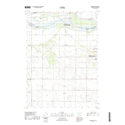
2017 Map of Menominee
USGS Topo · Published 2017About this map
The Missouri River forms a wide, braided corridor through this borderlands region, where the Missouri National Recreation River preservation area spans the boundary between Yankton, South Dakota, and Nebraska's Cedar County. On the northern bank, the James River flows south to join the main channel near Rush Island, a significant riverine landform within the floodplain. This landscape is defined by the transition from the alluvial bottomlands to the dissected uplands of Nebraska.
Find a feature on this map
37 named features on this map. Tap any name to fly to it.
Don’t see what you’re looking for? This feature index may not catch every label — zoom into the map to look around manually.
Map Details
Editions of this 2017 Menominee Map
This is the sole edition of this map. No revisions or reprints were ever made.
Other maps of this area

1955 · Sioux City
USGS Topo · 1:250,000

1957 · Gayville
USGS Topo · 1:24,000

1957 · Mission Hill
USGS Topo · 1:24,000

1958 · Sioux City
USGS Topo · 1:250,000

1959 · Sioux City
USGS Topo · 1:250,000

1968 · St. Helena
USGS Topo · 1:24,000

1968 · Gavins Point Dam
USGS Topo · 1:24,000

1968 · Crofton
USGS Topo · 1:24,000

1968 · Wynot
USGS Topo · 1:24,000

1968 · Fordyce
USGS Topo · 1:24,000