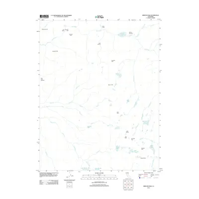
2012 Map of Merced Peak
USGS Topo · Published 2012About this map
Merced Lake High Sierra Camp serves as a remote focal point for travelers navigating the high-elevation terrain of this Madera County landscape. The region is defined by the headwaters and drainages of the Merced River and its major tributaries, including Illilouette Cr and the S Fork Merced River. This 2012 survey documents a complex network of granite peaks and alpine basins, from the prominence of Mount Clark and the Clark Range to the steep relief of Bunnell Cliff overlooking the water. The map traces the natural corridor through Lost Valley and Echo Valley, while high-altitude routes like Red Peak Pass connect the drainage of Red Peak Fork with the Ottoway Lakes basin. These features illustrate the dramatic glacial geomorphology and the historical paths used to traverse the crest.
Find a feature on this map
41 named features on this map. Tap any name to fly to it.
Don’t see what you’re looking for? This feature index may not catch every label — zoom into the map to look around manually.
Map Details
Editions of this 2012 Merced Peak Map
This is the sole edition of this map. No revisions or reprints were ever made.
Other maps of this area

1897 · Yosemite
USGS Topo · 1:125,000

1900 · Yosemite
USGS Topo · 1:125,000

1901 · Mt. Lyell
USGS Topo · 1:125,000

1903 · Yosemite
USGS Topo · 1:125,000

1909 · Yosemite
USGS Topo · 1:125,000

1947 · Mariposa
USGS Topo · 1:250,000

1948 · Mariposa
USGS Topo · 1:250,000

1953 · Merced Peak
USGS Topo · 1:62,500

1956 · Hetch Hetchy Reservoir
USGS Topo · 1:62,500

1956 · Tuolumne Meadows
USGS Topo · 1:62,500