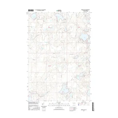
2015 Map of Mercer Lake
USGS Topo · Published 2015About this map
Tomahawk River and the winding Squirrel River anchor this glacial landscape in the mid-2010s, defining a network of interconnected waterways and wetlands. The region is characterized by numerous prominent water bodies, including Franklin Lake, Mercer Lake, and the expansive Blue Lake. The presence of the Willow Reservoir in the southwest corner and Lake Seventeen to the east reflects the area's hydrology and its development for water management and recreation.
Find a feature on this map
71 named features on this map. Tap any name to fly to it.
Don’t see what you’re looking for? This feature index may not catch every label — zoom into the map to look around manually.
Map Details
Editions of this 2015 Mercer Lake Map
This is the sole edition of this map. No revisions or reprints were ever made.
Other maps of this area

1938 · Minocqua
USGS Topo · 1:48,000

1938 · Lac Du Flambeau
USGS Topo · 1:48,000

1939 · Lac Du Flambeau
USGS Topo · 1:48,000

1939 · Mc Cord
USGS Topo · 1:48,000

1939 · Cassian
USGS Topo · 1:48,000

1942 · Cassian
USGS Topo · 1:48,000

1946 · Minocqua
USGS Topo · 1:48,000

1946 · Lac Du Flambeau
USGS Topo · 1:48,000

1947 · Mc Cord
USGS Topo · 1:48,000

1949 · Minocqua
USGS Topo · 1:48,000