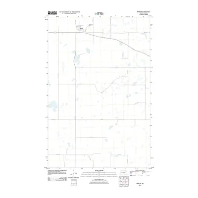
2011 Map of Mercer
USGS Topo · Published 2011About this map
The town of Mercer serves as the central hub for this portion of McLean County, characterized by a grid-like settlement pattern and a landscape dotted with numerous small prairie wetlands. The community's origins are tied to its transportation infrastructure, visible in the alignment of Railway St and its proximity to the Westerlind Airport. The surrounding terrain is defined by a dense network of sectional roads such as 8th Ave NW and Main St, reflecting the systematic agricultural organization of the North Dakota plains. This 2011 perspective captures the enduring layout of the village, from Max St in the north down to the arterial routes that connect this rural center to the broader region. The abundance of small water bodies across the quadrangle illustrates the unique glacial topography that continues to shape land use and drainage in the area.
Find a feature on this map
20 named features on this map. Tap any name to fly to it.
Don’t see what you’re looking for? This feature index may not catch every label — zoom into the map to look around manually.
Map Details
Editions of this 2011 Mercer Map
This is the sole edition of this map. No revisions or reprints were ever made.
Other maps of this area

1945 · Pelican Lake
USGS Topo · 1:62,500

1947 · Pelican Lake
USGS Topo · 1:62,500

1947 · Turtle Lake
USGS Topo · 1:62,500

1949 · Turtle Creek
USGS Topo · 1:62,500

1954 · McClusky
USGS Topo · 1:250,000

1958 · McClusky
USGS Topo · 1:250,000

1959 · Pickardville
USGS Topo · 1:24,000

1959 · Mercer
USGS Topo · 1:24,000

1959 · Mercer SW
USGS Topo · 1:24,000

1959 · Mercer SE
USGS Topo · 1:24,000