2024 Map of Mercer
USGS Topo · Published 2024About this map
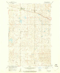
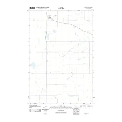
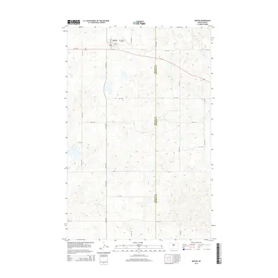
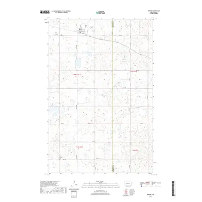
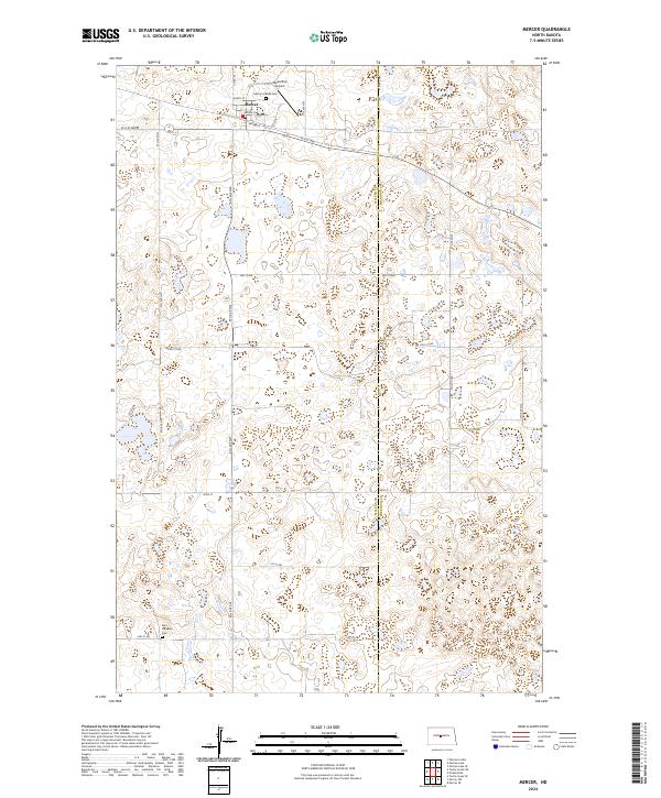
Mercer serves as the central hub of this survey, situated on the border of McLean and Sheridan counties. The town's grid is clearly defined by local thoroughfares such as Main St and Railway E, illustrating the legacy of the rail corridor in shaping the community's layout. To the north, Westerlind Airport and the Mercer Hillside Cem flank the settlement, while the Zion Lutheran Cem sits further south, providing essential markers for genealogical research in this prairie region.
Find a feature on this map
19 named features on this map. Tap any name to fly to it.
Don’t see what you’re looking for? This feature index may not catch every label — zoom into the map to look around manually.
Map Details
Editions of this 2024 Mercer Map
This is the sole edition of this map. No revisions or reprints were ever made.
Historical Maps of Mercer Through Time
6 maps found