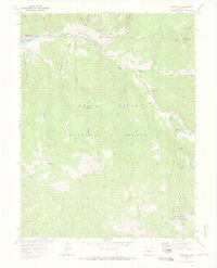
1970 Map of Meredith
USGS Topo · Published 1973About this map
The Fryingpan River corridor serves as the central artery for this high-altitude landscape, where the small settlements of Meredith and Thomasville sit along the valley floor. The map records a moment when the Ruedi Reservoir had recently reshaped the western edge of the quadrangle, drowning former landforms beneath the spillway. To the east, the White River National Forest dominates the terrain, marked by a dense network of high-country pack trails and jeep roads that connect isolated grazing areas like Lamont Pasture and Sawmill Park.
Find a feature on this map
59 named features on this map. Tap any name to fly to it.
Don’t see what you’re looking for? This feature index may not catch every label — zoom into the map to look around manually.
Map Details
Editions of this 1970 Meredith Map
4 editions found
Other maps of this area

1893 · Aspen
USGS Topo · 1:62,500

1895 · Aspen
USGS Topo · 1:62,500

1909 · Mount Jackson
USGS Topo · 1:125,000

1911 · Mount Jackson
USGS Topo · 1:125,000

1957 · Leadville
USGS Topo · 1:250,000

1959 · Leadville
USGS Topo · 1:250,000

1960 · Leadville
USGS Topo · 1:250,000
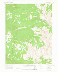
1960 · Thimble Rock
USGS Topo · 1:24,000

1960 · Aspen
USGS Topo · 1:24,000
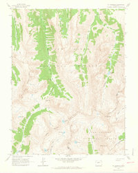
1960 · Mount Champion
USGS Topo · 1:24,000