
1960 Map of Aspen
USGS Topo · Published 1964About this map
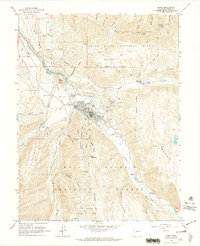
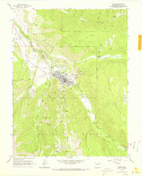
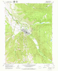
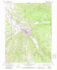
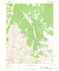
Aspen sits at the confluence of the Roaring Fork River, Hunter Creek, and Castle Creek during a period when the area's silver mining legacy remained etched into the mountain landscape. The town grid is bordered by high-altitude industrial markers, including the Smuggler Shaft and Mollie Gibson Shaft on the flanks of Smuggler Mountain. To the south, the terrain rises toward Richmond Hill and Bell Mountain, where the Midnite Shaft and Little Annie Mine point to a history of deep-vein extraction in the White River National Forest.
Find a feature on this map
69 named features on this map. Tap any name to fly to it.
Don’t see what you’re looking for? This feature index may not catch every label — zoom into the map to look around manually.
Map Details
Editions of this 1960 Aspen Map
5 editions found
Other maps of this area

1893 · Aspen
USGS Topo · 1:62,500

1895 · Aspen
USGS Topo · 1:62,500

1909 · Mount Jackson
USGS Topo · 1:125,000

1911 · Mount Jackson
USGS Topo · 1:125,000

1957 · Leadville
USGS Topo · 1:250,000

1959 · Leadville
USGS Topo · 1:250,000

1960 · Leadville
USGS Topo · 1:250,000

1960 · Highland Peak
USGS Topo · 1:24,000

1960 · Maroon Bells
USGS Topo · 1:24,000
1960 · Hayden Peak
USGS Topo · 1:24,000