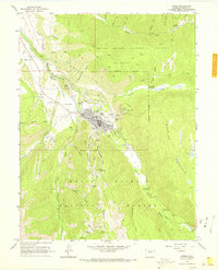
1960 Map of Aspen
USGS Topo · Published 1969About this map
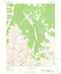
Aspen sits at the junction of the Roaring Fork and its tributaries, appearing here in 1960 during its transformation from a silver mining center to a mountain resort. The city grid is densely detailed, surrounded by remnants of its industrial heritage such as the Smuggler Shaft, Mollie Gibson Shaft, and J C Johnson Tunnel along the slopes of Smuggler Mountain. To the south, Aspen Mountain is marked with early Ski Lift and Ski Tow infrastructure, illustrating the mid-century development of the local recreation economy within the White River National Forest. The landscape is a network of historical transit, from the Denver and Rio Grande Western railroad corridor near Sardy Field to high-altitude pack trails. In the northern reaches, the small settlement of Lenado sits along Woody Creek, while several local graveyards, including Aspen Grove Cemetery and Red Butte Cemetery, provide valuable records for genealogical research.
Find a feature on this map
67 named features on this map. Tap any name to fly to it.
Don’t see what you’re looking for? This feature index may not catch every label — zoom into the map to look around manually.
Map Details
Editions of this 1960 Aspen Map
5 editions found

Other maps of this area

1893 · Aspen
USGS Topo · 1:62,500

1895 · Aspen
USGS Topo · 1:62,500

1909 · Mount Jackson
USGS Topo · 1:125,000

1911 · Mount Jackson
USGS Topo · 1:125,000

1957 · Leadville
USGS Topo · 1:250,000

1959 · Leadville
USGS Topo · 1:250,000

1960 · Leadville
USGS Topo · 1:250,000

1960 · Highland Peak
USGS Topo · 1:24,000

1960 · Maroon Bells
USGS Topo · 1:24,000
1960 · Hayden Peak
USGS Topo · 1:24,000