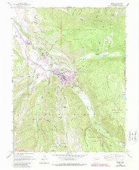
1960 Map of Aspen
USGS Topo · Published 1988About this map
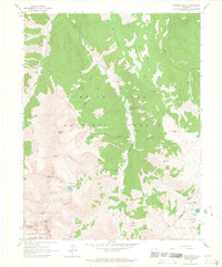
The silver-mining heritage of Aspen is deeply etched into the topography of this survey, which details the complex network of shafts and tunnels flanking the town. On the lower slopes of Smuggler Mountain, historic works like the Smuggler Shaft, Mollie Gibson Shaft, and the Cowenhoven Tunnel speak to the industrial roots of the Roaring Fork Valley. The town site itself sits at the confluence of the Roaring Fork River and Hunter Creek, with the residential grid transitioning into recreational and municipal features including the Golf Course and Sardy Field.
Find a feature on this map
59 named features on this map. Tap any name to fly to it.
Don’t see what you’re looking for? This feature index may not catch every label — zoom into the map to look around manually.
Map Details
Editions of this 1960 Aspen Map
5 editions found

Other maps of this area

1893 · Aspen
USGS Topo · 1:62,500

1895 · Aspen
USGS Topo · 1:62,500

1909 · Mount Jackson
USGS Topo · 1:125,000

1911 · Mount Jackson
USGS Topo · 1:125,000

1957 · Leadville
USGS Topo · 1:250,000

1959 · Leadville
USGS Topo · 1:250,000

1960 · Leadville
USGS Topo · 1:250,000

1960 · Highland Peak
USGS Topo · 1:24,000

1960 · Maroon Bells
USGS Topo · 1:24,000
1960 · Hayden Peak
USGS Topo · 1:24,000