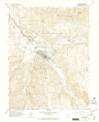
1960 Map of Aspen
USGS Topo · Published 1964About this map
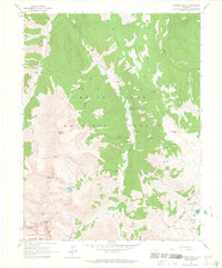
The silver-mining legacy of the Roaring Fork Valley remains visible on this landscape, which preserves the footprints of legendary operations like the Smuggler Shaft and Mollie Gibson Shaft. While Aspen is already established with its Golf Course and Sardy Field, the surrounding peaks are still deeply marked by the industrial infrastructure of an earlier boom. The Denver and Rio Grande Western RR follows the Roaring Fork River past Red Butte, while a network of pack trails and jeep trails climbs toward high-altitude sites such as Tourtelotte Park and the Little Annie Mine. Genealogists will find three distinct burial grounds near the town: Red Butte Cemetery, Ute Cem, and Aspen Grove Cemetery. The map also captures the settlement of Lenado and the remote mining prospects along Richmond Hill.
Find a feature on this map
67 named features on this map. Tap any name to fly to it.
Don’t see what you’re looking for? This feature index may not catch every label — zoom into the map to look around manually.
Map Details
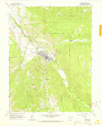
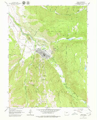
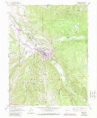
Editions of this 1960 Aspen Map
5 editions found

Other maps of this area

1893 · Aspen
USGS Topo · 1:62,500

1895 · Aspen
USGS Topo · 1:62,500

1909 · Mount Jackson
USGS Topo · 1:125,000

1911 · Mount Jackson
USGS Topo · 1:125,000

1957 · Leadville
USGS Topo · 1:250,000

1959 · Leadville
USGS Topo · 1:250,000

1960 · Leadville
USGS Topo · 1:250,000

1960 · Highland Peak
USGS Topo · 1:24,000

1960 · Maroon Bells
USGS Topo · 1:24,000
1960 · Hayden Peak
USGS Topo · 1:24,000