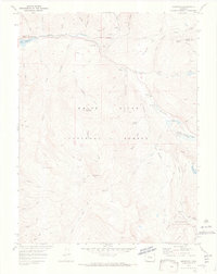
1970 Map of Meredith
USGS Topo · Published 1973About this map
The Fryingpan River corridor serves as the primary artery through this high-altitude landscape within the White River National Forest. Small settlements like Meredith and Thomasville anchor the northwestern portion of the map, while the small community of Norrie sits further upriver, near the Norrie Guard Sta. The topography is defined by significant peaks such as Cyclone Mountain and Porphyry Mtn, with a network of narrow gulches and creeks feeding into the main valley.
Find a feature on this map
61 named features on this map. Tap any name to fly to it.
Don’t see what you’re looking for? This feature index may not catch every label — zoom into the map to look around manually.
Map Details
Editions of this 1970 Meredith Map
4 editions found
Other maps of this area

1893 · Aspen
USGS Topo · 1:62,500

1895 · Aspen
USGS Topo · 1:62,500

1909 · Mount Jackson
USGS Topo · 1:125,000

1911 · Mount Jackson
USGS Topo · 1:125,000

1957 · Leadville
USGS Topo · 1:250,000

1959 · Leadville
USGS Topo · 1:250,000

1960 · Leadville
USGS Topo · 1:250,000
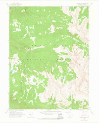
1960 · Thimble Rock
USGS Topo · 1:24,000

1960 · Aspen
USGS Topo · 1:24,000
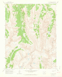
1960 · Mount Champion
USGS Topo · 1:24,000