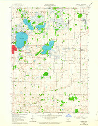
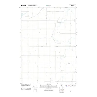
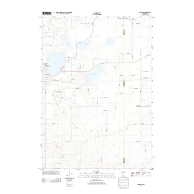
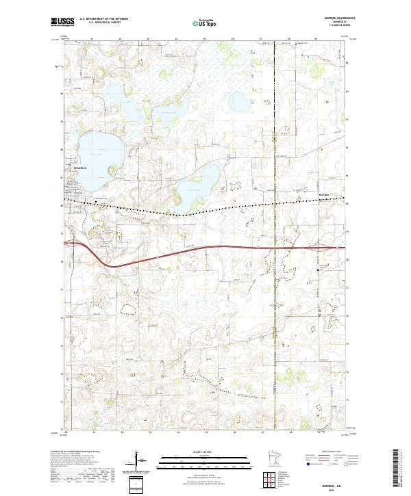
1962 Map of Meriden
USGS Topo · Published 1964About this map
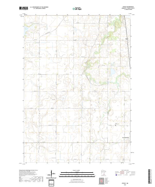
Rice Lake and Watkins Lake anchor the northern landscape of this region during the early 1960s, while the city of Waseca sits along the western shore of Clear Lake. The territory is defined by a sophisticated network of water management, evidenced by numerous systems like Judicial Ditch No 1 and County Ditch No 17, reflecting the agricultural imperatives of southern Minnesota. The Chicago and North Western railroad cuts across the central townships of Woodville and Meriden, connecting the city to the smaller settlement of Meriden. Local history is preserved through scattered landmarks including St Paul Ch, School No 2142, and several burial grounds such as Karsten Cem and Brase Cem. These features, alongside Lakeside Country Club and Roadside Park, illustrate a transition from town life to the expansive lake-dotted rural tracts of Blooming Grove and Otisco.
Find a feature on this map
31 named features on this map. Tap any name to fly to it.
Don’t see what you’re looking for? This feature index may not catch every label — zoom into the map to look around manually.
Map Details
Editions of this 1962 Meriden Map
This is the sole edition of this map. No revisions or reprints were ever made.
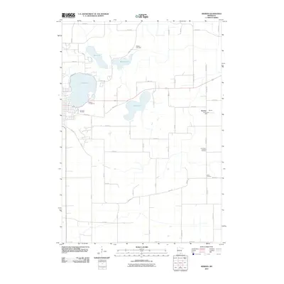
Historical Maps of Waseca Through Time
13 maps found
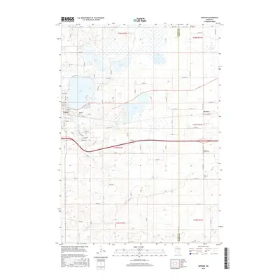
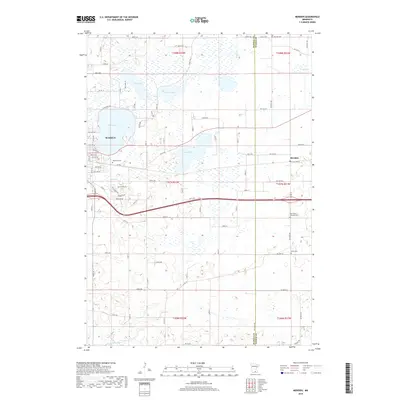
1962 Meriden
Waseca County, MN
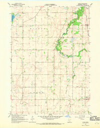
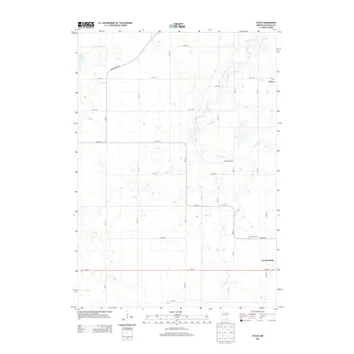
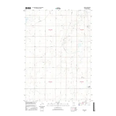
1967 Otisco
Waseca County, MN
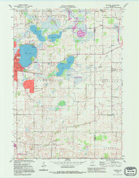
1992 Meriden
Waseca County, MN
2010 Meriden
Waseca County, MN
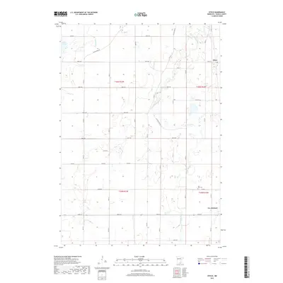
2010 Otisco
Waseca County, MN
2013 Meriden
Waseca County, MN
2013 Otisco
Waseca County, MN
2016 Meriden
Waseca County, MN
2016 Otisco
Waseca County, MN
2019 Meriden
Waseca County, MN
2019 Otisco
Waseca County, MN
2022 Meriden
Waseca County, MN
2022 Otisco
Waseca County, MN