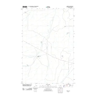
2011 Map of Merino
USGS Topo · Published 2011About this map
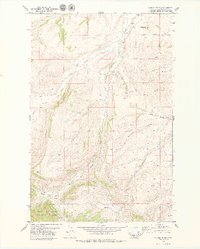
Merino and the Surprise Creek Colony anchor this agricultural and ranching landscape in Judith Basin County. The terrain is defined by a dendritic network of drainages, including Surprise Creek, Sun Creek, and Wolf Creek, which cut through the high plains toward the North Fork Surprise Creek. Local water management is evident in the placement of the Wilson Dam and the Wendall Willkie Dam, serving the needs of the sparse settlements and livestock in this portion of Montana. To the east, the elevation rises toward Antelope Butte, a prominent landmark overlooking the surrounding coulees like Fox Coulee. Roads such as County Rd-209 and County Rd-202 provide the primary grid for the region, connecting remote outposts like Dover to the wider county network.
Find a feature on this map
15 named features on this map. Tap any name to fly to it.
Don’t see what you’re looking for? This feature index may not catch every label — zoom into the map to look around manually.
Map Details
Editions of this 2011 Merino Map
This is the sole edition of this map. No revisions or reprints were ever made.
Other maps of this area

1890 · Fort Benton
USGS Topo · 1:250,000

1892 · Fort Benton
USGS Topo · 1:250,000

1897 · Fort Benton
USGS Topo · 1:250,000

1954 · Great Falls
USGS Topo · 1:250,000

1957 · Great Falls
USGS Topo · 1:250,000

1978 · Leiberg Coulee
USGS Topo · 1:24,000
1978 · Windham
USGS Topo · 1:24,000
1978 · Merino
USGS Topo · 1:24,000
1978 · Stanford
USGS Topo · 1:24,000
1979 · Cayuse Basin
USGS Topo · 1:24,000