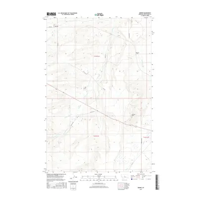
2017 Map of Merino
USGS Topo · Published 2017About this map
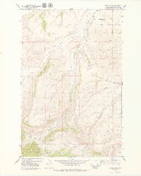
Merino and Dover anchor this high-plains landscape in Judith Basin County, where the terrain is carved by an intricate network of waterways. The drainage pattern is dominated by Surprise Cr and its N Fork Surprise Cr, which wind through the township alongside Sun Cr and Wolf Cr. This 2017 survey illustrates the persistent rural grid of the American West, where section lines and local thoroughfares like Merino Rd and Broken Arrow Rd dictate the movement of commerce and travel across the prairie. Notable topographical landmarks such as Antelope Butte and Fox Coulee provide vertical relief in an area primarily defined by agricultural tracts and ranching infrastructure. The map serves as a clear record of modern land divisions and water rights in this part of Montana.
Find a feature on this map
23 named features on this map. Tap any name to fly to it.
Don’t see what you’re looking for? This feature index may not catch every label — zoom into the map to look around manually.
Map Details
Editions of this 2017 Merino Map
This is the sole edition of this map. No revisions or reprints were ever made.
Other maps of this area

1890 · Fort Benton
USGS Topo · 1:250,000

1892 · Fort Benton
USGS Topo · 1:250,000

1897 · Fort Benton
USGS Topo · 1:250,000

1954 · Great Falls
USGS Topo · 1:250,000

1957 · Great Falls
USGS Topo · 1:250,000

1978 · Leiberg Coulee
USGS Topo · 1:24,000
1978 · Windham
USGS Topo · 1:24,000
1978 · Merino
USGS Topo · 1:24,000
1978 · Stanford
USGS Topo · 1:24,000
1979 · Cayuse Basin
USGS Topo · 1:24,000