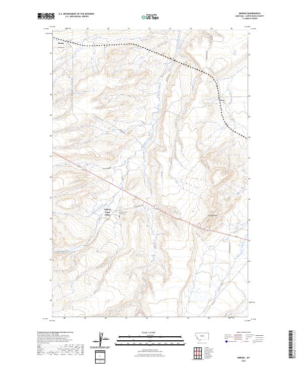
2024 Map of Merino
USGS Topo · Published 2024About this map
Surprise Creek Colony serves as a central landmark in this portion of Judith Basin County, situated along the North Fork Surprise Creek. The surrounding landscape is defined by the drainage systems of Surprise Creek and Sun Creek, which carve through the high plains terrain. Local history is anchored by the small settlements of Merino in the northwest and Dover in the northeast, connected by a network of rural routes like Merino Rd and Sourdough Rd. The presence of the Surprise Creek Colony Cem provides a specific point of interest for genealogists tracing families in this agricultural community. Topographic features such as Antelope Butte and Fox Coulee punctuate the horizon, illustrating the transition between open range and the coulees that feed into the Judith River basin.
Find a feature on this map
26 named features on this map. Tap any name to fly to it.
Don’t see what you’re looking for? This feature index may not catch every label — zoom into the map to look around manually.
Map Details
Editions of this 2024 Merino Map
This is the sole edition of this map. No revisions or reprints were ever made.
Other maps of this area

1890 · Fort Benton
USGS Topo · 1:250,000

1892 · Fort Benton
USGS Topo · 1:250,000

1897 · Fort Benton
USGS Topo · 1:250,000

1954 · Great Falls
USGS Topo · 1:250,000

1957 · Great Falls
USGS Topo · 1:250,000

1978 · Leiberg Coulee
USGS Topo · 1:24,000
1978 · Windham
USGS Topo · 1:24,000
1978 · Merino
USGS Topo · 1:24,000
1978 · Stanford
USGS Topo · 1:24,000
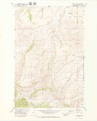
1979 · Cayuse Basin
USGS Topo · 1:24,000