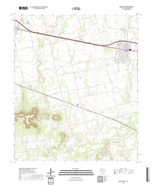
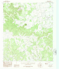
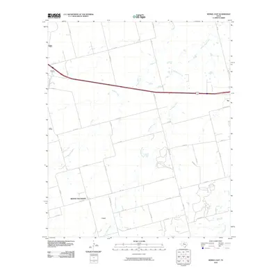
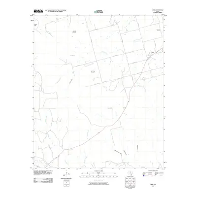
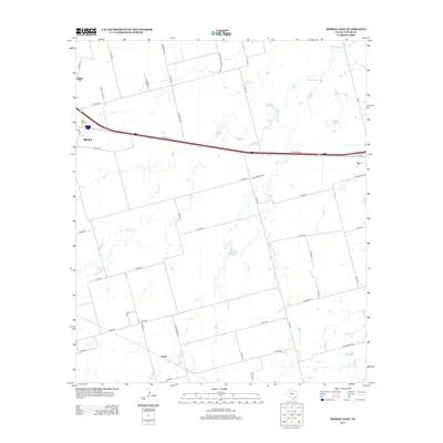
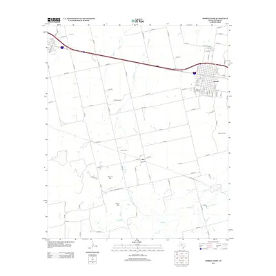
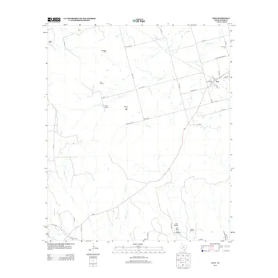
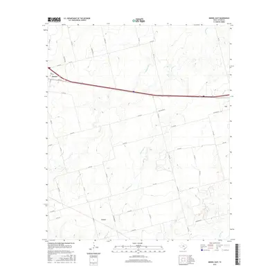
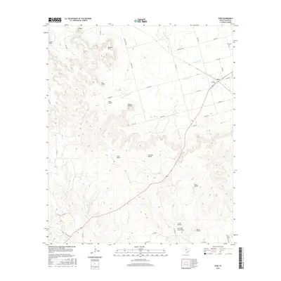
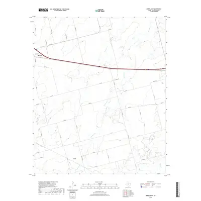
2022 Map of Merkel West
USGS Topo · Published 2022About this map
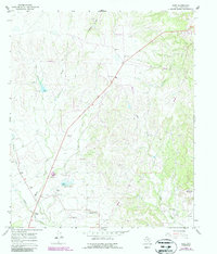
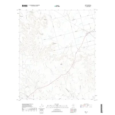
The West Texas ranching and agricultural landscape of Taylor County unfolds across this 2022 survey, defined by the rugged relief of Mulberry Canyon and the prominent peaks of Blowout Mtn and Spears Mtn. The terrain is drained by a network of waterways including Noodle Cr, Bitter Cr, and Little Bitter Cr, which cut through the high plains. Settlement is concentrated along the Interstate 20 corridor, which serves as the primary artery connecting the communities of Merkel and Trent. Genealogy researchers will find several localized landmarks, such as the White Church and the Trent Garden of Memories Cem, which anchor the historical identity of this rural region. The small settlement of Blair sits centrally among a grid of county roads that navigate the varying elevations, providing a clear record of modern property boundaries and land use in the Big Country area.
Find a feature on this map
106 named features on this map. Tap any name to fly to it.
Don’t see what you’re looking for? This feature index may not catch every label — zoom into the map to look around manually.
Map Details
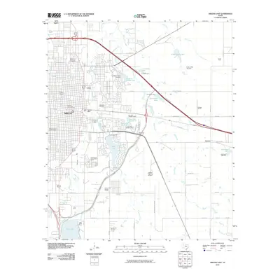
Editions of this 2022 Merkel West Map
This is the sole edition of this map. No revisions or reprints were ever made.
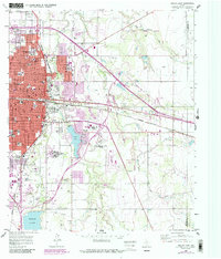
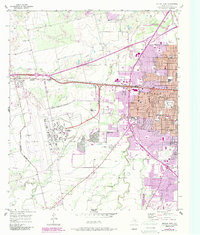
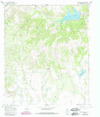
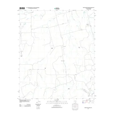
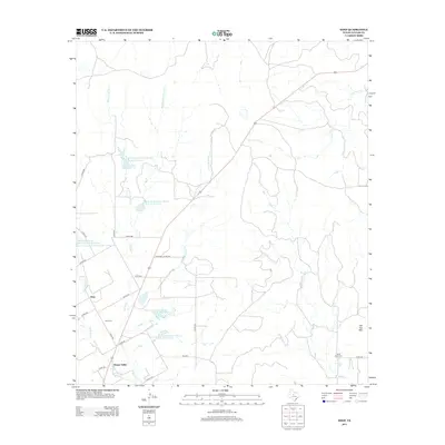
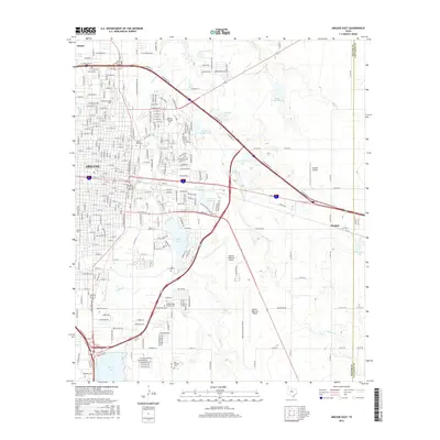
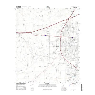
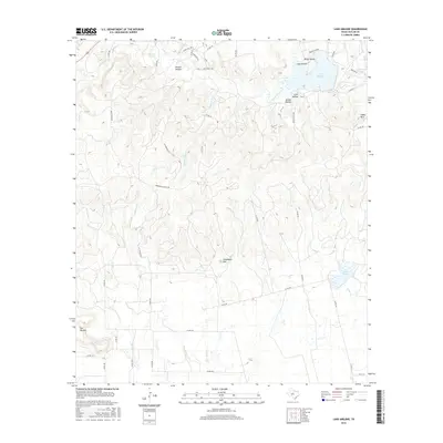
Historical Maps of Merkel Through Time
48 maps found
1957 Abilene East
Taylor County, TX
1957 Abilene West
Taylor County, TX
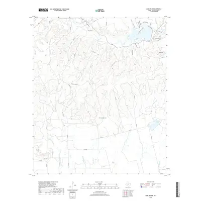
1967 Lake Abilene
Taylor County, TX
1967 Shep
Taylor County, TX
1984 Merkel East
Taylor County, TX
1984 Merkel West
Taylor County, TX
1984 Mountain Pass
Taylor County, TX
1984 View
Taylor County, TX
2010 Abilene East
Taylor County, TX
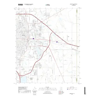
2010 Abilene West
Taylor County, TX
2010 Lake Abilene
Taylor County, TX
2010 Merkel East
Taylor County, TX
2010 Merkel West
Taylor County, TX
2010 Mountain Pass
Taylor County, TX
2010 Shep
Taylor County, TX
2010 View
Taylor County, TX
2012 Abilene East
Taylor County, TX
2012 Abilene West
Taylor County, TX
2012 Lake Abilene
Taylor County, TX
2012 Merkel East
Taylor County, TX
2012 Merkel West
Taylor County, TX
2012 Mountain Pass
Taylor County, TX
2012 Shep
Taylor County, TX
2012 View
Taylor County, TX
2016 Abilene East
Taylor County, TX
2016 Abilene West
Taylor County, TX
2016 Lake Abilene
Taylor County, TX
2016 Merkel East
Taylor County, TX
2016 Merkel West
Taylor County, TX
2016 Mountain Pass
Taylor County, TX
2016 Shep
Taylor County, TX
2016 View
Taylor County, TX
2019 Abilene East
Taylor County, TX
2019 Abilene West
Taylor County, TX
2019 Lake Abilene
Taylor County, TX
2019 Merkel East
Taylor County, TX
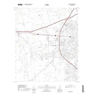
2019 Merkel West
Taylor County, TX
2019 Mountain Pass
Taylor County, TX
2019 Shep
Taylor County, TX
2019 View
Taylor County, TX
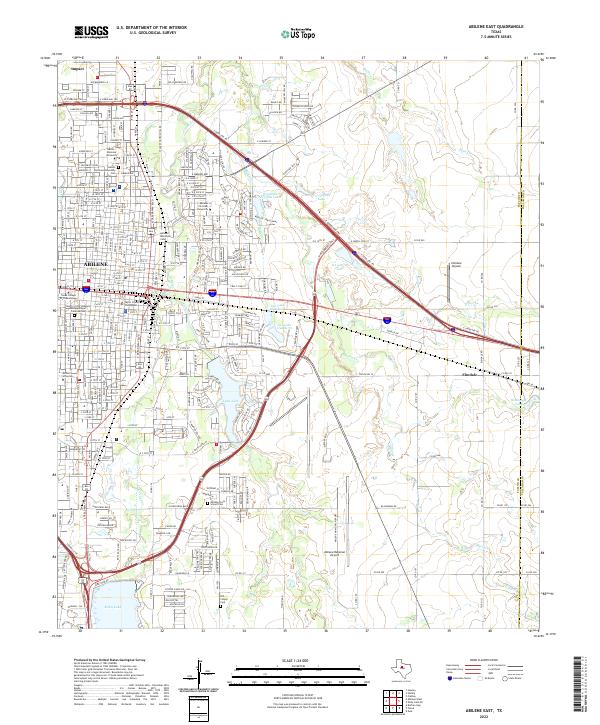
2022 Abilene East
Taylor County, TX
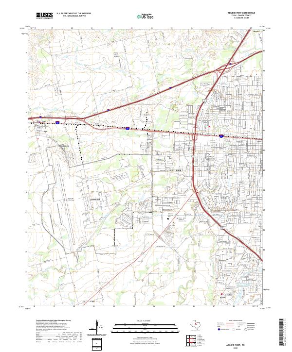
2022 Abilene West
Taylor County, TX
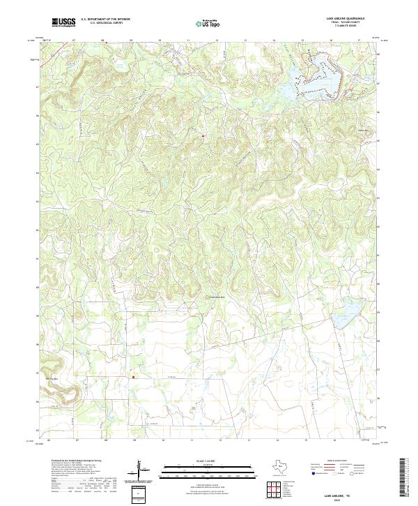
2022 Lake Abilene
Taylor County, TX
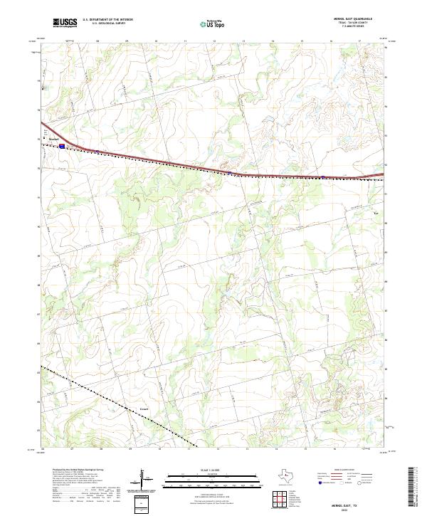
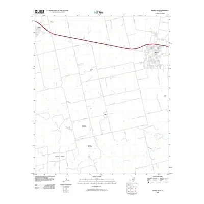
2022 Merkel East
Taylor County, TX
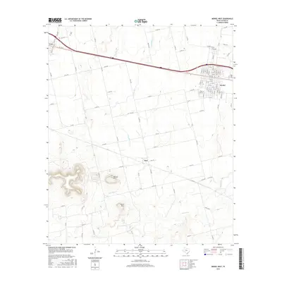
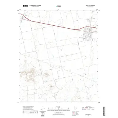
2022 Merkel West
Taylor County, TX
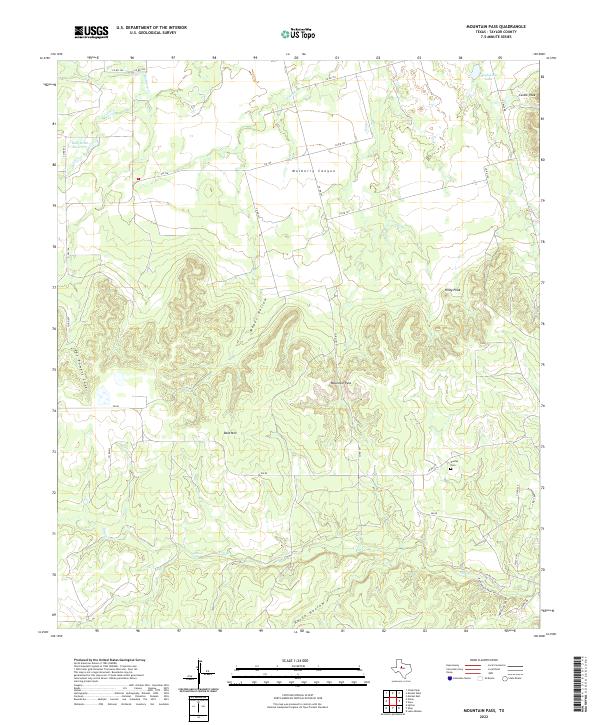
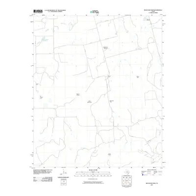
2022 Mountain Pass
Taylor County, TX
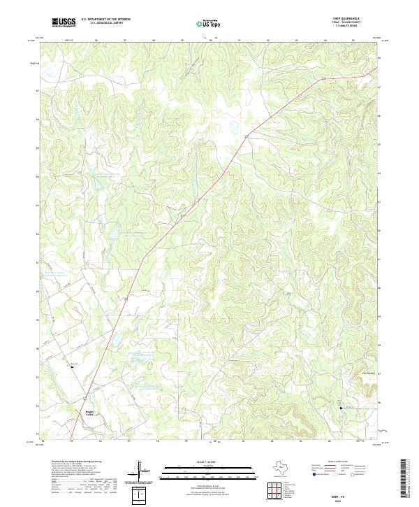
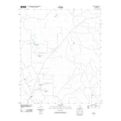
2022 Shep
Taylor County, TX
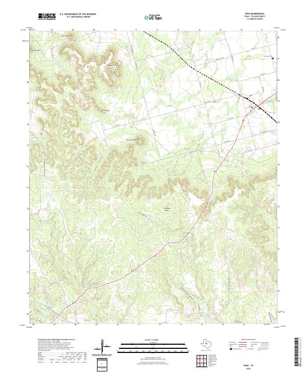
2022 View
Taylor County, TX