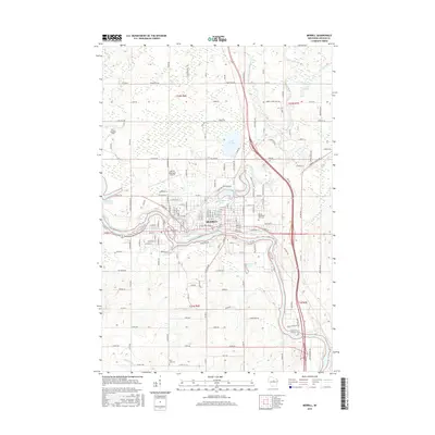
2015 Map of Merrill
USGS Topo · Published 2015About this map
Merrill occupies a strategic position at the confluence of the Wisconsin River and the Prairie River, where industrial history and local geography intersect. The town's development is closely tied to its waterways, evident in the Alexander Flowage to the west and the Ward Mill Pond near the center of the settlement. These features suggest a legacy of water-powered industry that shaped the early 21st-century layout.
Find a feature on this map
160 named features on this map. Tap any name to fly to it.
Don’t see what you’re looking for? This feature index may not catch every label — zoom into the map to look around manually.
Map Details
Editions of this 2015 Merrill Map
This is the sole edition of this map. No revisions or reprints were ever made.
Other maps of this area

1899 · Wausau
USGS Topo · 1:125,000

1902 · Wausau
USGS Topo · 1:125,000

1902 · Marathon
USGS Topo · 1:125,000

1950 · Tomahawk
USGS Topo · 1:48,000

1950 · Spirit Falls
USGS Topo · 1:48,000

1951 · Merrill
USGS Topo · 1:48,000

1951 · Hamburg
USGS Topo · 1:48,000

1952 · Spirit Falls
USGS Topo · 1:48,000

1952 · Tomahawk
USGS Topo · 1:48,000

1954 · Iron Mountain
USGS Topo · 1:250,000