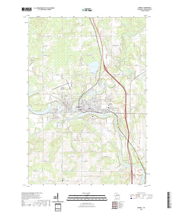
2022 Map of Merrill
USGS Topo · Published 2022About this map
The confluence of the Wisconsin River and the Prairie River anchors the city of Merrill, where the urban grid gives way to the marshy lowlands and lakes of Lincoln County. This modern topographic perspective reveals the persistent importance of the river systems, which are joined by smaller tributaries like Devil Cr and Little Hog-Muddy Cr. The civic landscape is well-defined by the Lincoln County Courthouse and numerous community landmarks including the Merrill Municipal Airport and the R & S Landing Strip to the northwest.
Find a feature on this map
71 named features on this map. Tap any name to fly to it.
Don’t see what you’re looking for? This feature index may not catch every label — zoom into the map to look around manually.
Map Details
Editions of this 2022 Merrill Map
This is the sole edition of this map. No revisions or reprints were ever made.
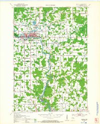
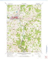
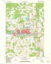
Historical Maps of Prairie River Savannah Through Time
5 maps found