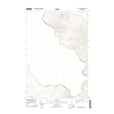
2014 Map of Merrill Mountain
USGS Topo · Published 2014About this map
The international border between Maine and Quebec, Canada, defines this high-altitude landscape in Franklin County. Dominated by the peak of Merrill Mountain, the terrain serves as a natural divide where several significant waterways originate. To the north, Mill Brook and Number One Brook flow through the valleys, while the headwaters of the W Br Moose River are found on the eastern slopes of Caribou Mtn.
Find a feature on this map
13 named features on this map. Tap any name to fly to it.
Don’t see what you’re looking for? This feature index may not catch every label — zoom into the map to look around manually.
Map Details
Editions of this 2014 Merrill Mountain Map
This is the sole edition of this map. No revisions or reprints were ever made.
Other maps of this area

1928 · Chain Lakes
USGS Topo · 1:48,000

1928 · Skinner
USGS Topo · 1:48,000

1931 · Skinner
USGS Topo · 1:62,500

1932 · Arnold Pond
USGS Topo · 1:48,000

1932 · Chain Lakes
USGS Topo · 1:62,500

1935 · Chain Lakes
USGS Topo · 1:62,500

1935 · Arnold Pond
USGS Topo · 1:62,500

1949 · Jackman
USGS Topo · 1:250,000
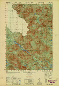
1951 · Chain Lakes
USGS Topo · 1:50,000

1963 · Jackman
USGS Topo · 1:250,000