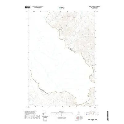
2021 Map of Merrill Mountain
USGS Topo · Published 2021About this map
The international boundary between the United States and Canada defines the high-altitude landscape of this 2021 survey, where the peaks of the Boundary Mountains form a natural divide. Rising to prominence are Merrill Mtn and Van Dyke Mtn, which overlook a network of drainages that feed into both nations. The terrain is characterized by its hydrological features, including the remote Lower Nathan Bog and the headwaters of Kibby Stream and W Br Moose River. This modern topographic study illustrates how the international line weaves across the summits of Caribou Mtn and Mt Pisgah, reflecting a border established by natural topography. The absence of roads or settlements emphasizes the wilderness character of this region, where drainage systems like Mill Brook and Number One Brook carve through steep elevation gradients near the border crossings.
Find a feature on this map
12 named features on this map. Tap any name to fly to it.
Don’t see what you’re looking for? This feature index may not catch every label — zoom into the map to look around manually.
Map Details
Editions of this 2021 Merrill Mountain Map
This is the sole edition of this map. No revisions or reprints were ever made.
Other maps of this area

1928 · Chain Lakes
USGS Topo · 1:48,000

1928 · Skinner
USGS Topo · 1:48,000

1931 · Skinner
USGS Topo · 1:62,500

1932 · Arnold Pond
USGS Topo · 1:48,000

1932 · Chain Lakes
USGS Topo · 1:62,500

1935 · Chain Lakes
USGS Topo · 1:62,500

1935 · Arnold Pond
USGS Topo · 1:62,500

1949 · Jackman
USGS Topo · 1:250,000
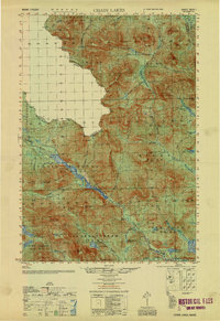
1951 · Chain Lakes
USGS Topo · 1:50,000

1963 · Jackman
USGS Topo · 1:250,000