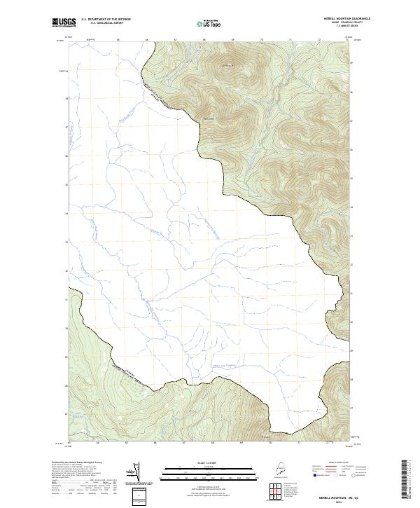
2024 Map of Merrill Mountain
USGS Topo · Published 2024About this map
The Canada United States Of America international boundary cuts across this Franklin County landscape, marking a remote borderland where drainage systems diverge across high peaks. To the north and east, elevations climb toward the summits of Merrill Mtn and Van Dyke Mtn, while the southern reaches are dominated by the slopes of Mt Pisgah. This topography dictates a complex network of headwaters, including the West Branch Moose River and the meandering Rivière aux Araignées. In the lower elevations, the presence of Lower Nathan Bog suggests the damp, poorly drained valley floors characteristic of this high-latitude terrain. Smaller tributaries such as Mill Brook, Number One Brook, and Bear Brook carve through the mountains, illustrating a wilderness shaped almost entirely by water and elevation rather than human infrastructure or settlement.
Find a feature on this map
14 named features on this map. Tap any name to fly to it.
Don’t see what you’re looking for? This feature index may not catch every label — zoom into the map to look around manually.
Map Details
Editions of this 2024 Merrill Mountain Map
This is the sole edition of this map. No revisions or reprints were ever made.
Other maps of this area

1928 · Chain Lakes
USGS Topo · 1:48,000

1928 · Skinner
USGS Topo · 1:48,000

1931 · Skinner
USGS Topo · 1:62,500

1932 · Arnold Pond
USGS Topo · 1:48,000

1932 · Chain Lakes
USGS Topo · 1:62,500

1935 · Chain Lakes
USGS Topo · 1:62,500

1935 · Arnold Pond
USGS Topo · 1:62,500

1949 · Jackman
USGS Topo · 1:250,000
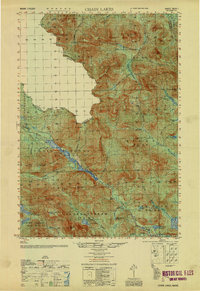
1951 · Chain Lakes
USGS Topo · 1:50,000

1963 · Jackman
USGS Topo · 1:250,000