Loading...
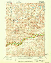
Loading map...1951 Map of Merriman
USGS Topo · Published 1951About this map
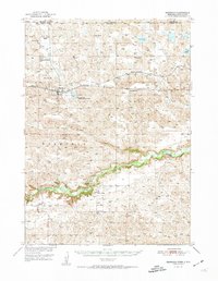
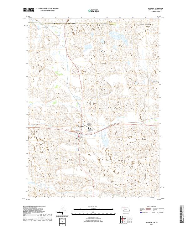
Merriman serves as the central hub for this High Plains landscape, situated along the corridor of the Chicago and North Western railroad. The topography is defined by the winding course of the Niobrara River to the south and the sandhill-and-lake country to the north, including Goose Lake and Clubhouse Lake. A pattern of early mid-century rural life is evident in the network of ranching homesteads such as the Gardner Ranch, Weber Ranch, and Bates Ranch.
Find a feature on this map
26 named features on this map. Tap any name to fly to it.
Don’t see what you’re looking for? This feature index may not catch every label — zoom into the map to look around manually.
Map Details
Date Portrayed1951
Date Published1951
PublisherU.S. Geological Survey
Map TypeTopographic
Scale1:62,500
Physical Dimensions16.9 x 20.8 inches
Editions of this 1951 Merriman Map
2 editions found
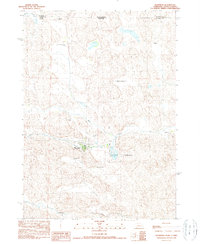
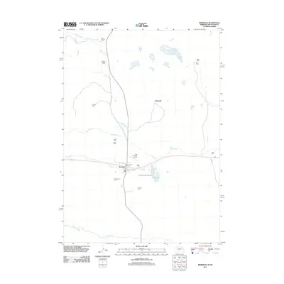
Historical Maps of Martin Through Time
6 maps found
Featured Locations
Source Details
SourceU.S. Geological Survey
CopyrightPublic Domain