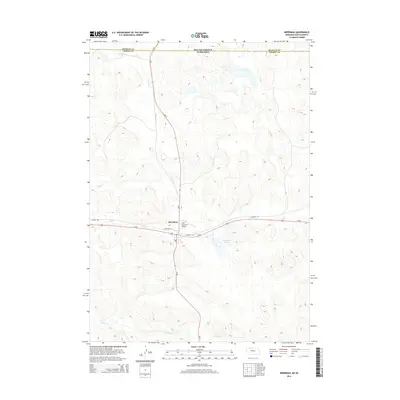
2014 Map of Merriman
USGS Topo · Published 2014About this map
The borderlands of South Dakota and Nebraska define this landscape, where the sandhills terrain meets the north-south transit of Ne-61 and SD-73. The village of Merriman serves as the central hub, situated along the historic corridor of Us-20 and the Cowboy Trl. This area is characterized by a complex drainage network featuring Heckel Cr, Bear Cr, and Dry Cr, which flow through the undulating dunes typical of this region. The presence of Cottonwood Lake and the Cole Memorial Airport just east of the village highlights the local infrastructure that supports this ranching country. For researchers, the map provides a clear view of the intersection between Bennett and Cherry counties, illustrating the sparse but deliberate layout of roads like Chestnut St that anchor the small settlement.
Find a feature on this map
14 named features on this map. Tap any name to fly to it.
Don’t see what you’re looking for? This feature index may not catch every label — zoom into the map to look around manually.
Map Details
Editions of this 2014 Merriman Map
This is the sole edition of this map. No revisions or reprints were ever made.
Other maps of this area

1950 · Irwin
USGS Topo · 1:62,500

1951 · Irwin
USGS Topo · 1:62,500

1951 · Merriman
USGS Topo · 1:62,500

1955 · Martin
USGS Topo · 1:250,000

1957 · Valentine
USGS Topo · 1:250,000

1958 · Martin
USGS Topo · 1:250,000

1959 · Valentine
USGS Topo · 1:250,000

1981 · Phantom Lake
USGS Topo · 1:25,000

1981 · Ecoffey Lake
USGS Topo · 1:25,000

1983 · Martin
USGS Topo · 1:100,000