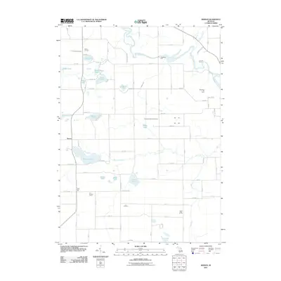
2011 Map of Merson
USGS Topo · Published 2011About this map
The Kalamazoo River winds through the northern portion of this Allegan County landscape, where the Trowbridge Dam and Schnable Brook anchor the local geography. This region is characterized by a high density of small glacial lakes, including Pike Lake, Middle Lake, and the uniquely named Lake Sixteen. The small settlement of Merson sits in the west, while the surrounding countryside is dotted with points of interest for local historians, such as North Point Hall and several established burial grounds including Blackman Cemetery and Earl Cemetery.
Find a feature on this map
75 named features on this map. Tap any name to fly to it.
Don’t see what you’re looking for? This feature index may not catch every label — zoom into the map to look around manually.
Map Details
Editions of this 2011 Merson Map
This is the sole edition of this map. No revisions or reprints were ever made.
Other maps of this area

1916 · Kalamazoo
USGS Topo · 1:62,500

1918 · Kalamazoo
USGS Topo · 1:62,500

1943 · Kalamazoo
USGS Topo · 1:62,500

1946 · Gobles
USGS Topo · 1:62,500

1948 · Gobles
USGS Topo · 1:62,500

1949 · Gobles
USGS Topo · 1:62,500

1958 · Allegan
USGS Topo · 1:62,500

1958 · Grand Rapids
USGS Topo · 1:250,000

1959 · Wayland
USGS Topo · 1:62,500

1961 · Grand Rapids
USGS Topo · 1:250,000