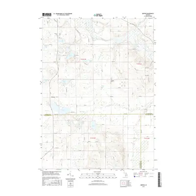
2017 Map of Merson
USGS Topo · Published 2017About this map
The Kalamazoo River winds through the northern portion of this landscape, carving a valley that defines the topography above the settlement of Merson. This area at the intersection of Allegan, Van Buren, and Kalamazoo counties is characterized by a high concentration of glacial kettle lakes, including Base Line Lake, Lake Sixteen, and Clear Lake. The human footprint is marked by long-standing burial grounds such as Trowbridge Methodist Cem, Blackman Cem, and Mallery Cem, which provide significant points of reference for genealogical research in Trowbridge Township.
Find a feature on this map
89 named features on this map. Tap any name to fly to it.
Don’t see what you’re looking for? This feature index may not catch every label — zoom into the map to look around manually.
Map Details
Editions of this 2017 Merson Map
This is the sole edition of this map. No revisions or reprints were ever made.
Other maps of this area

1916 · Kalamazoo
USGS Topo · 1:62,500

1918 · Kalamazoo
USGS Topo · 1:62,500

1943 · Kalamazoo
USGS Topo · 1:62,500

1946 · Gobles
USGS Topo · 1:62,500

1948 · Gobles
USGS Topo · 1:62,500

1949 · Gobles
USGS Topo · 1:62,500

1958 · Allegan
USGS Topo · 1:62,500

1958 · Grand Rapids
USGS Topo · 1:250,000

1959 · Wayland
USGS Topo · 1:62,500

1961 · Grand Rapids
USGS Topo · 1:250,000