2023 Map of Merson
USGS Topo · Published 2023About this map
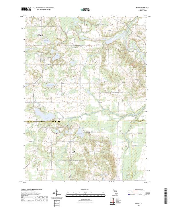
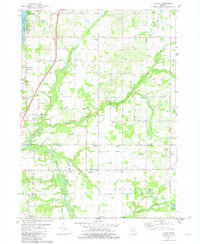
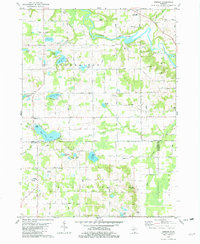
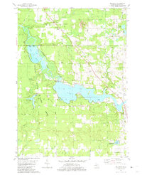
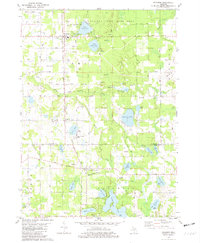
The settlement of Merson stands at the western edge of this Allegan County landscape, where the local road network follows a strict section-line grid typical of Michigan's agricultural heartland. The northeastern corner is defined by the winding course of the Kalamazoo River, which cuts through the terrain near the Schnable Brook confluence. This area is notably water-rich, featuring a cluster of glacial lakes including Sheffer Lake, Pike Lake, and the curiously named Lake Sixteen. For genealogists, the map preserves the locations of several burial grounds, including the Mallory Cem West and Mallory Cem East pair, the Earl Cem, and the Trowbridge Methodist Cem. The map also illustrates the convergence of three counties—Allegan, Van Buren, and Kalamazoo—marked along the southern boundary by Baseline Road and the drainage of Base Line Creek.
Find a feature on this map
63 named features on this map. Tap any name to fly to it.
Don’t see what you’re looking for? This feature index may not catch every label — zoom into the map to look around manually.
Map Details
Editions of this 2023 Merson Map
This is the sole edition of this map. No revisions or reprints were ever made.
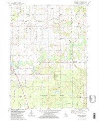
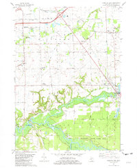
Historical Maps of Otsego Township Through Time
20 maps found
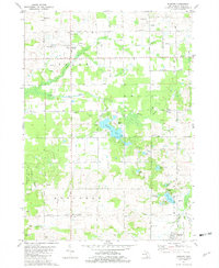
1981 Burnips
Allegan County, MI

1981 Glenn
Allegan County, MI
1981 Hamilton East
Allegan County, MI
1981 Hamilton West
Allegan County, MI
1981 Lacota
Allegan County, MI
1981 Merson
Allegan County, MI
1981 Millgrove
Allegan County, MI
1981 Pullman
Allegan County, MI
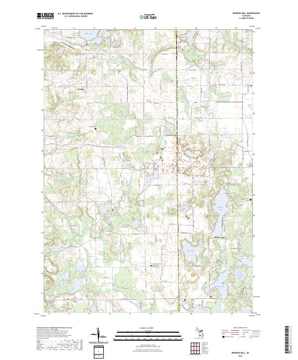
1982 Bowens Mill
Allegan County, MI
1982 Orangeville
Allegan County, MI
2023 Bowens Mill
Allegan County, MI
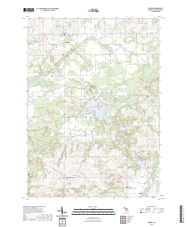
2023 Burnips
Allegan County, MI
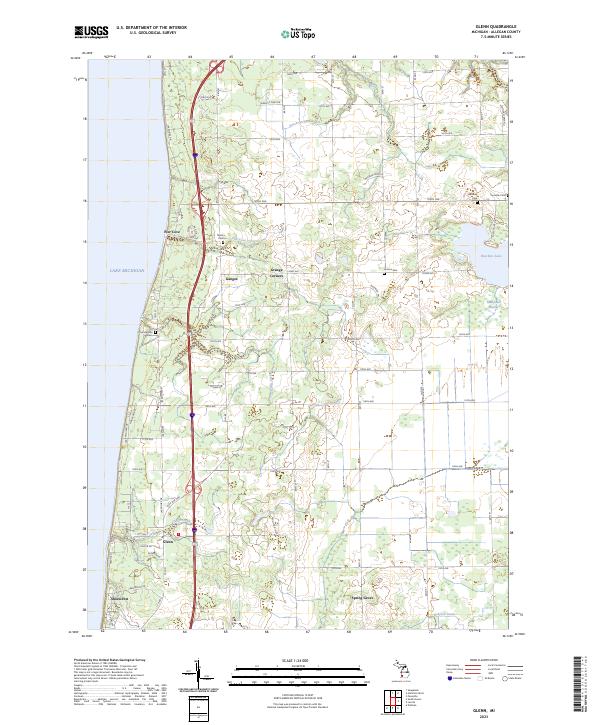
2023 Glenn
Allegan County, MI
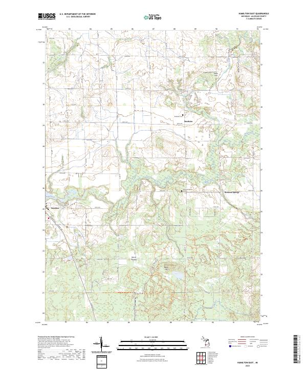
2023 Hamilton East
Allegan County, MI

2023 Hamilton West
Allegan County, MI
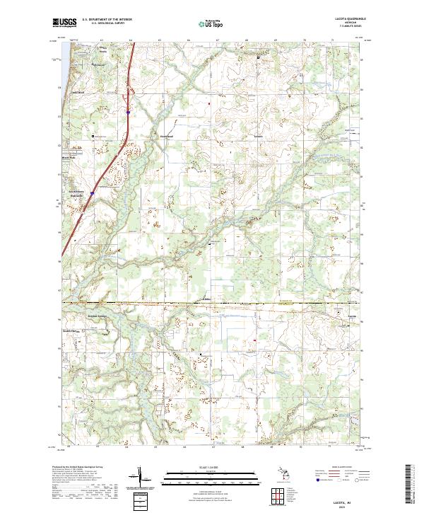
2023 Lacota
Allegan County, MI
2023 Merson
Allegan County, MI
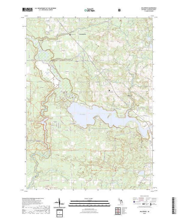
2023 Millgrove
Allegan County, MI
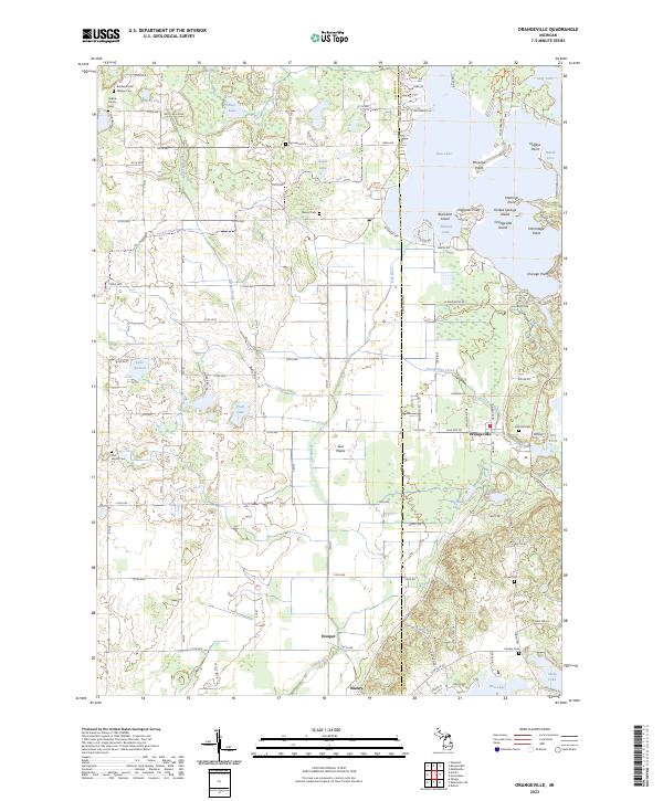
2023 Orangeville
Allegan County, MI
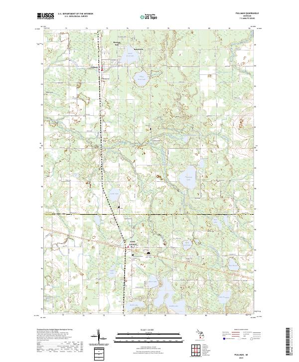
2023 Pullman
Allegan County, MI
Featured Locations
- Alamo Township, MI
- Pine Grove Township, MI
- Trowbridge Township, MI
- Otsego Township, MI
- Merson, Trowbridge Township