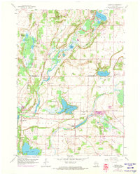
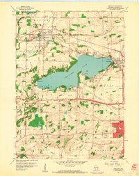
1959 Map of Merton
USGS Topo · Published 1973About this map
Holy Hill rises prominently in the northern section of this landscape, overlooking a glacial terrain defined by numerous lakes and wetlands. The drainage of the Oconomowoc River and Bark River shapes the development of early settlements like Monches and Plat. A complex transportation network is evident here, with the Chicago and North Western and the Milwaukee St Paul and Pacific railroads cutting through the countryside. These rails facilitated the growth of local industry, specifically the numerous Gravel Pits scattered near the water bodies. The social fabric of the era is anchored by rural landmarks such as Center Oak Sch and St Johns Ch, while the recreational character of the region is seen at Camp Whitcomb and the Golf Course near Chenequa.
Find a feature on this map
40 named features on this map. Tap any name to fly to it.
Don’t see what you’re looking for? This feature index may not catch every label — zoom into the map to look around manually.
Map Details
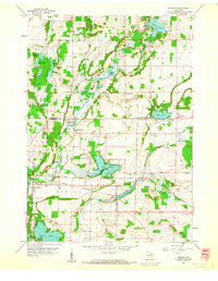
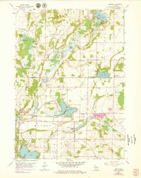
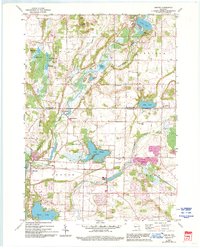
Editions of this 1959 Merton Map
4 editions found
Other maps of this area

1892 · Waukesha
USGS Topo · 1:62,500

1892 · Oconomowoc
USGS Topo · 1:62,500

1901 · Waukesha
USGS Topo · 1:62,500

1904 · West Bend
USGS Topo · 1:62,500

1904 · Hartford
USGS Topo · 1:62,500

1906 · Waukesha
USGS Topo · 1:62,500

1909 · Oconomowoc
USGS Topo · 1:62,500

1957 · Madison
USGS Topo · 1:250,000

1959 · West Bend
USGS Topo · 1:62,500
1959 · Hartland
USGS Topo · 1:24,000