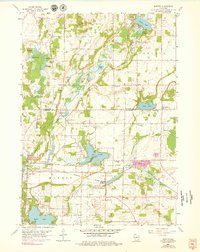
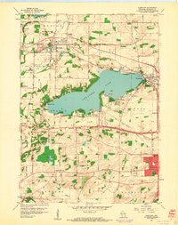
1959 Map of Merton
USGS Topo · Published 1979About this map
Holy Hill stands as a prominent landmark on this landscape, overlooking the glaciated terrain of southeastern Wisconsin. The area is defined by its abundant kettle lakes and waterways, including Lake Keesus, Beaver Lake, and the Oconomowoc River. This era of the late 1950s shows the region's agricultural roots alongside growing recreational developments, evidenced by the Golf Course near Chenequa and camps such as Camp Whitcomb.
Find a feature on this map
45 named features on this map. Tap any name to fly to it.
Don’t see what you’re looking for? This feature index may not catch every label — zoom into the map to look around manually.
Map Details
Editions of this 1959 Merton Map
4 editions found
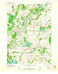
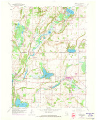
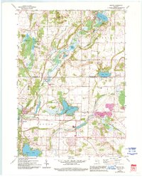
Other maps of this area

1892 · Waukesha
USGS Topo · 1:62,500

1892 · Oconomowoc
USGS Topo · 1:62,500

1901 · Waukesha
USGS Topo · 1:62,500

1904 · West Bend
USGS Topo · 1:62,500

1904 · Hartford
USGS Topo · 1:62,500

1906 · Waukesha
USGS Topo · 1:62,500

1909 · Oconomowoc
USGS Topo · 1:62,500

1957 · Madison
USGS Topo · 1:250,000

1959 · West Bend
USGS Topo · 1:62,500
1959 · Hartland
USGS Topo · 1:24,000