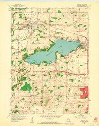
1959 Map of Hartland
USGS Topo · Published 1961About this map
Pewaukee Lake dominates this landscape in Waukesha County, serving as the central hub for the surrounding lakeside settlements of Buena Vista and Pewaukee. During the late 1950s, the region maintained a distinct separation between its developing suburban fringes and the preserved glacial topography of the Kettle Moraine State Forest. The map captures a high density of rural schoolhouses and country churches, such as Brandy Brook Sch and St Anthony Ch, many of which served established farming communities like Merton, Lisbon, and Genesee. Transportation patterns are defined by the Chicago Milwaukee St Paul and Pacific railroad line, which skirts the northern shore of the lake. Local industry and land use are evidenced by several Gravel Pits and a notable Peat Bog near the forest boundary, reflecting the unique post-glacial geological character of southeastern Wisconsin before extensive modern subdivision.
Find a feature on this map
47 named features on this map. Tap any name to fly to it.
Don’t see what you’re looking for? This feature index may not catch every label — zoom into the map to look around manually.
Map Details
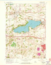
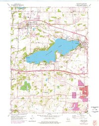
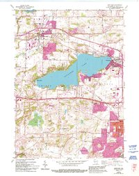
Editions of this 1959 Hartland Map
4 editions found
Other maps of this area

1891 · Muskego
USGS Topo · 1:62,500

1892 · Waukesha
USGS Topo · 1:62,500

1892 · Oconomowoc
USGS Topo · 1:62,500

1892 · Eagle
USGS Topo · 1:62,500

1894 · Eagle
USGS Topo · 1:62,500

1897 · Eagle
USGS Topo · 1:62,500

1901 · Waukesha
USGS Topo · 1:62,500

1901 · Muskego
USGS Topo · 1:62,500

1906 · Eagle
USGS Topo · 1:62,500

1906 · Waukesha
USGS Topo · 1:62,500