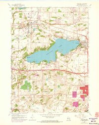
1959 Map of Hartland
USGS Topo · Published 1973About this map
Pewaukee Lake serves as the focal point of this Waukesha County landscape, surrounded by the growing communities of Hartland, Pewaukee, and Delafield. The terrain is defined by glacial features typical of the Kettle Moraine State Forest, with numerous small water bodies like Beaver Lake and a large Peat Bog area in the southwest. The presence of the Chicago Milwaukee St Paul and Pacific Railroad cutting through the center of the sheet underscores the region's historical transportation network.
Find a feature on this map
52 named features on this map. Tap any name to fly to it.
Don’t see what you’re looking for? This feature index may not catch every label — zoom into the map to look around manually.
Map Details
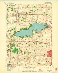
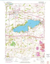
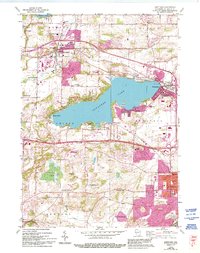
Editions of this 1959 Hartland Map
4 editions found
Other maps of this area

1891 · Muskego
USGS Topo · 1:62,500

1892 · Waukesha
USGS Topo · 1:62,500

1892 · Oconomowoc
USGS Topo · 1:62,500

1892 · Eagle
USGS Topo · 1:62,500

1894 · Eagle
USGS Topo · 1:62,500

1897 · Eagle
USGS Topo · 1:62,500

1901 · Waukesha
USGS Topo · 1:62,500

1901 · Muskego
USGS Topo · 1:62,500

1906 · Eagle
USGS Topo · 1:62,500

1906 · Waukesha
USGS Topo · 1:62,500