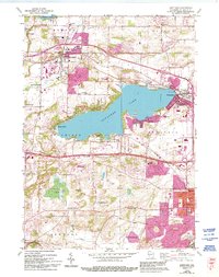
1959 Map of Hartland
USGS Topo · Published 1994About this map
Lake Pewaukee dominates the central landscape of this survey, which captures the suburban and recreational evolution of Waukesha County in the mid-20th century. The village of Hartland serves as a northern anchor, while residential expansions like Pewaukee West and Buena Vista line the lake's southern shores. The map reflects a community in transition from rural farming to a settled residential corridor, evidenced by the dense network of local schools including Arrowhead High Sch, Swallow Sch, and Lakeside Sch.
Find a feature on this map
38 named features on this map. Tap any name to fly to it.
Don’t see what you’re looking for? This feature index may not catch every label — zoom into the map to look around manually.
Map Details
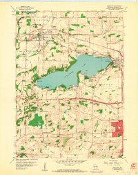
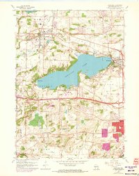
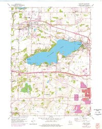
Editions of this 1959 Hartland Map
4 editions found
Other maps of this area

1891 · Muskego
USGS Topo · 1:62,500

1892 · Waukesha
USGS Topo · 1:62,500

1892 · Oconomowoc
USGS Topo · 1:62,500

1892 · Eagle
USGS Topo · 1:62,500

1894 · Eagle
USGS Topo · 1:62,500

1897 · Eagle
USGS Topo · 1:62,500

1901 · Waukesha
USGS Topo · 1:62,500

1901 · Muskego
USGS Topo · 1:62,500

1906 · Eagle
USGS Topo · 1:62,500

1906 · Waukesha
USGS Topo · 1:62,500