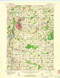
1959 Map of West Bend
USGS Topo · Published 1960About this map
The Milwaukee River carves a central path through this Wisconsin landscape, anchoring the growing city of West Bend and the milling village of Young America. By the late 1950s, the region shows a complex mix of dairy-land heritage and early suburban expansion, with small hamlets like Rockfield, Mayfield, and Fillmore scattered among a dense grid of country schoolhouses such as Decorah Sch and Fair Park Sch. Conservation areas are well-established, including the Kettle Moraine State Forest in the northwest and the expansive Cedarburg Bog Wildlife Refuge to the east.
Find a feature on this map
98 named features on this map. Tap any name to fly to it.
Don’t see what you’re looking for? This feature index may not catch every label — zoom into the map to look around manually.
Map Details
Editions of this 1959 West Bend Map
This is the sole edition of this map. No revisions or reprints were ever made.
Other maps of this area

1892 · Milwaukee
USGS Topo · 1:62,500

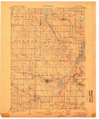
1892 · Waukesha
USGS Topo · 1:62,500

1892 · Oconomowoc
USGS Topo · 1:62,500
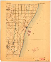
1892 · Port Washington
USGS Topo · 1:62,500

1901 · Milwaukee
USGS Topo · 1:62,500

1901 · Waukesha
USGS Topo · 1:62,500

1904 · West Bend
USGS Topo · 1:62,500
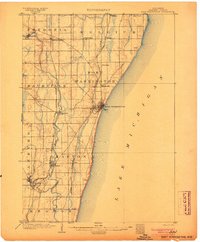
1904 · Port Washington
USGS Topo · 1:62,500
1904 · Hartford
USGS Topo · 1:62,500

1906 · Waukesha
USGS Topo · 1:62,500